Travel Tracking With Carto DB


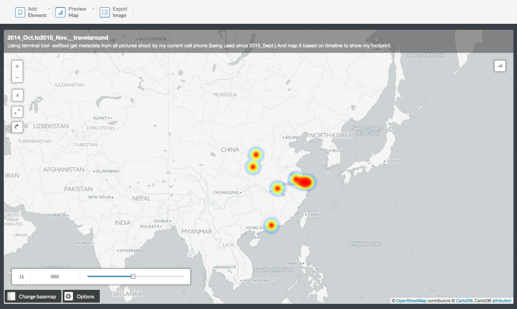
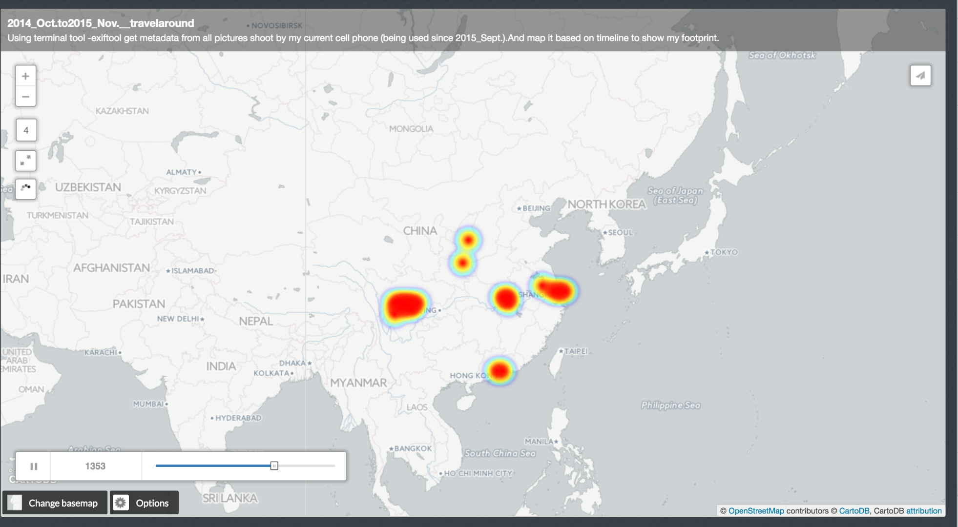
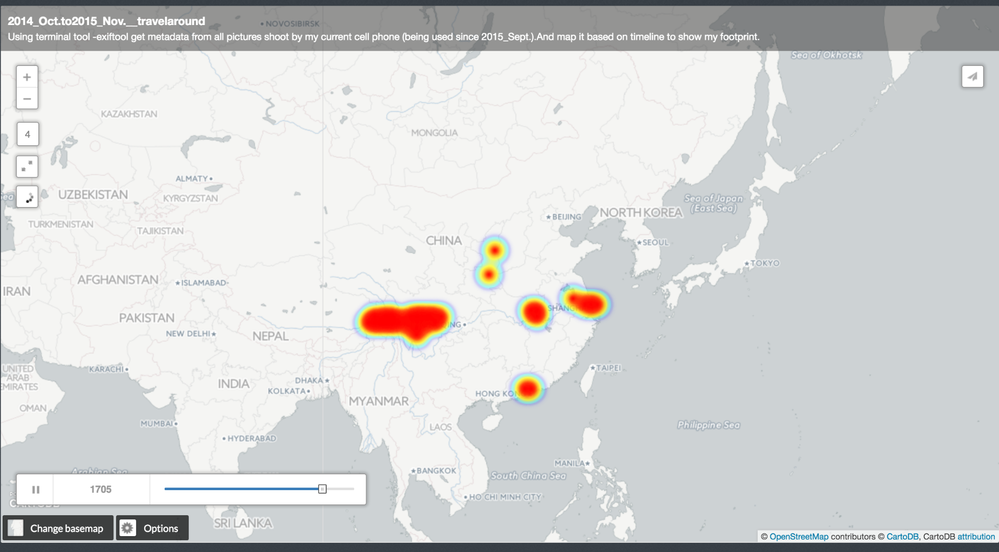
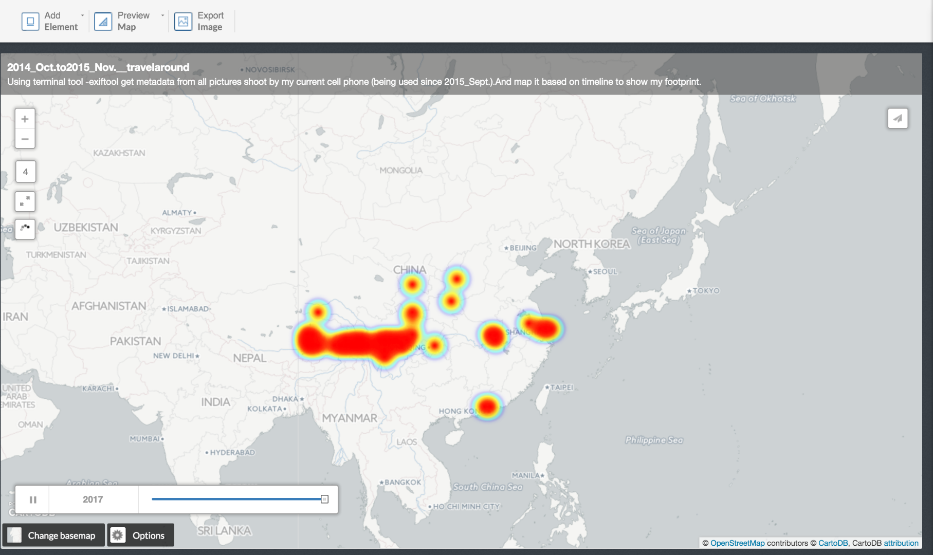
For this project, what I did is to pull metadata from all pictures shoot by my current cell phone (being used since 2014_Sept.) with terminal tool -exiftool and map it based on timeline.
1.Pull Meta Data From Your Pictures
1.Using terminal tool -exiftool with following comand:
exiftool -csv -CreateDate -GPSLatitude -GPSLongitude *.jpg > metadata.csv
You will get something like this:
Downloads
2.Converting Data With Processing.
Converting data to the format that cartodb can read.
2.1, Manually delete the NULL data for your GPS doesn't work sometimes.
2.2,Run processing sketch to convert data format from "31 deg 13' 59.65" N" to "31.233236", copy paste into new column in excel.
You will get something like this
3.Map It With CartoDB: Www.cartodb.com
I chose to do heat map with animation.
And some of the key parameters for understanding the animation is:
steps: divide the whole process into how may steps
durations: animation time
resolution: decide how isolate the cluster should be.