Around the Globe
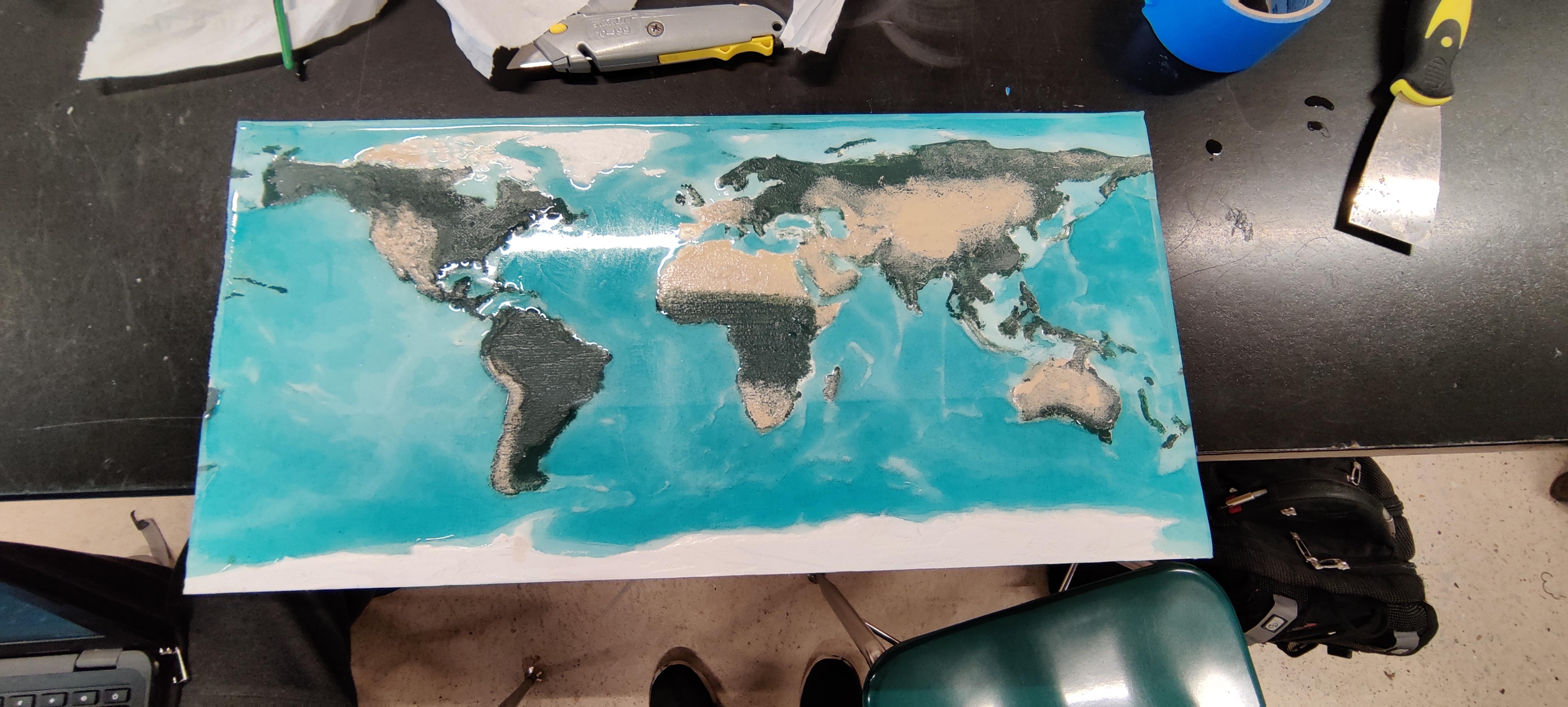
The world is a crazy place, plenty of different places, elevations and depths. It is crazy to think about it. In this project we aimed to show how large the world can be and how it changes depending on where you are. We named the project "Around the Globe" because while our map is flat, the globe is round just as it should be. We made a 3 dimensional map called a topographic map meaning it shows the elevations physically, and this is how we did it.
Supplies
A fine board of wood of your picking. A 3D file of the topographical earth. A CNC milling machine. 16oz of shallow epoxy resin and a dye of your choice. And finally some paint.
Our Amazing World
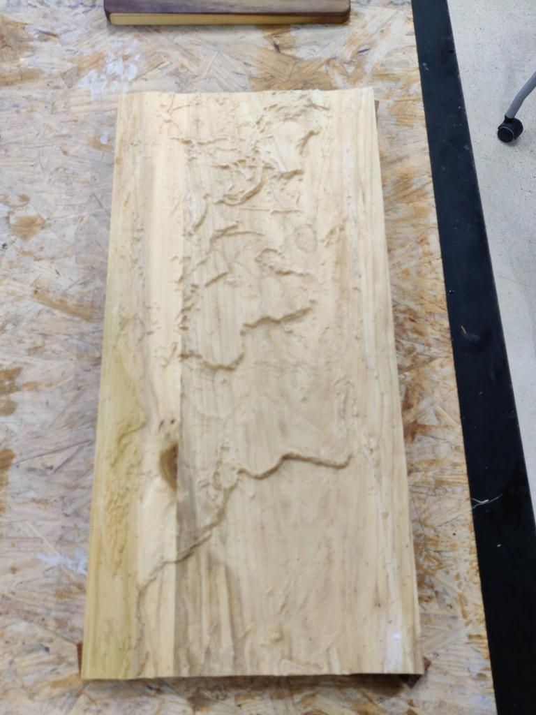
For this step, we found a topographic map of the world on the internet and modeled it into a topographical map using LIDAR scans from a government funded agency.
Size Matters
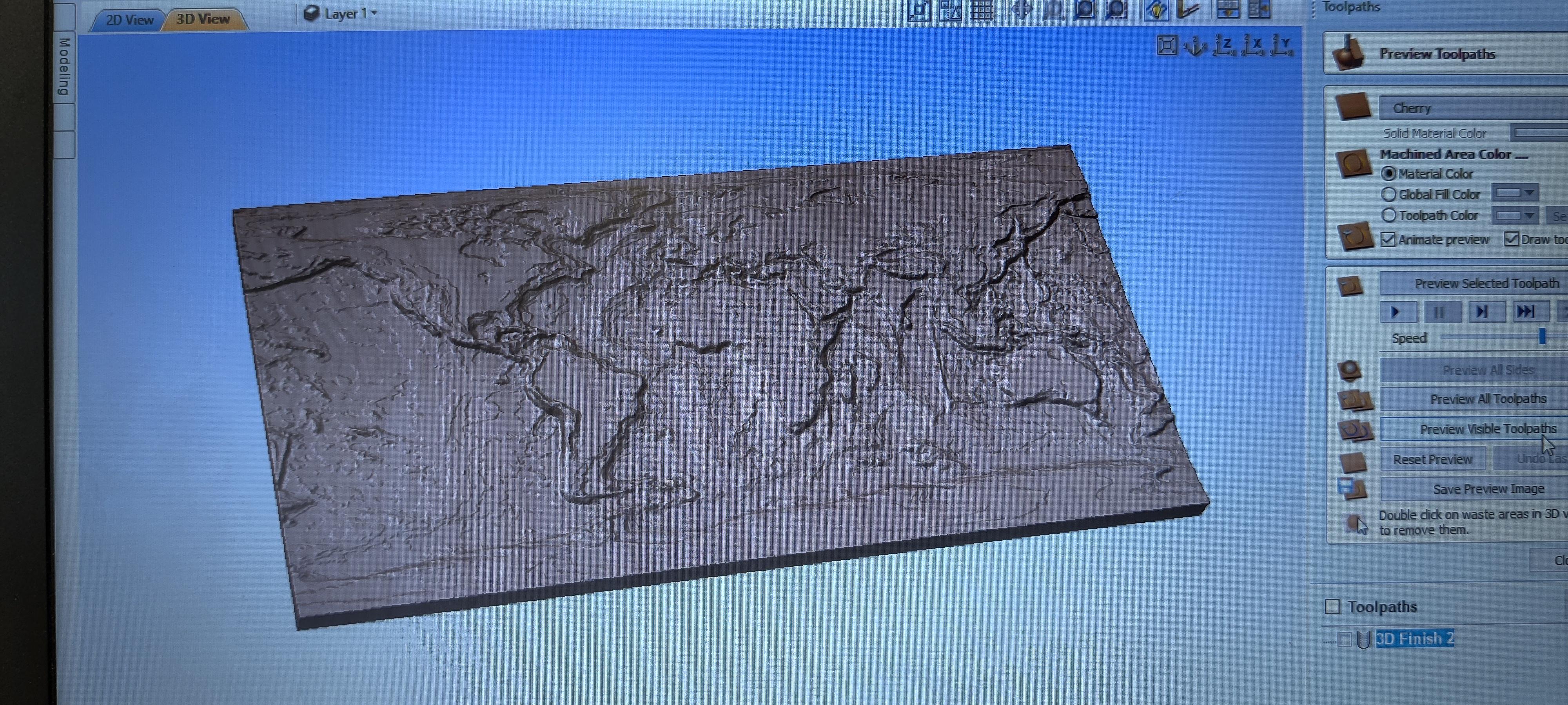
For this step, we scaled down the topographic map to 22.5 inches long by 11.25 inches wide by 0.75inches thick to fit our bed size on our milling machine.
The Perfect Piece Wood
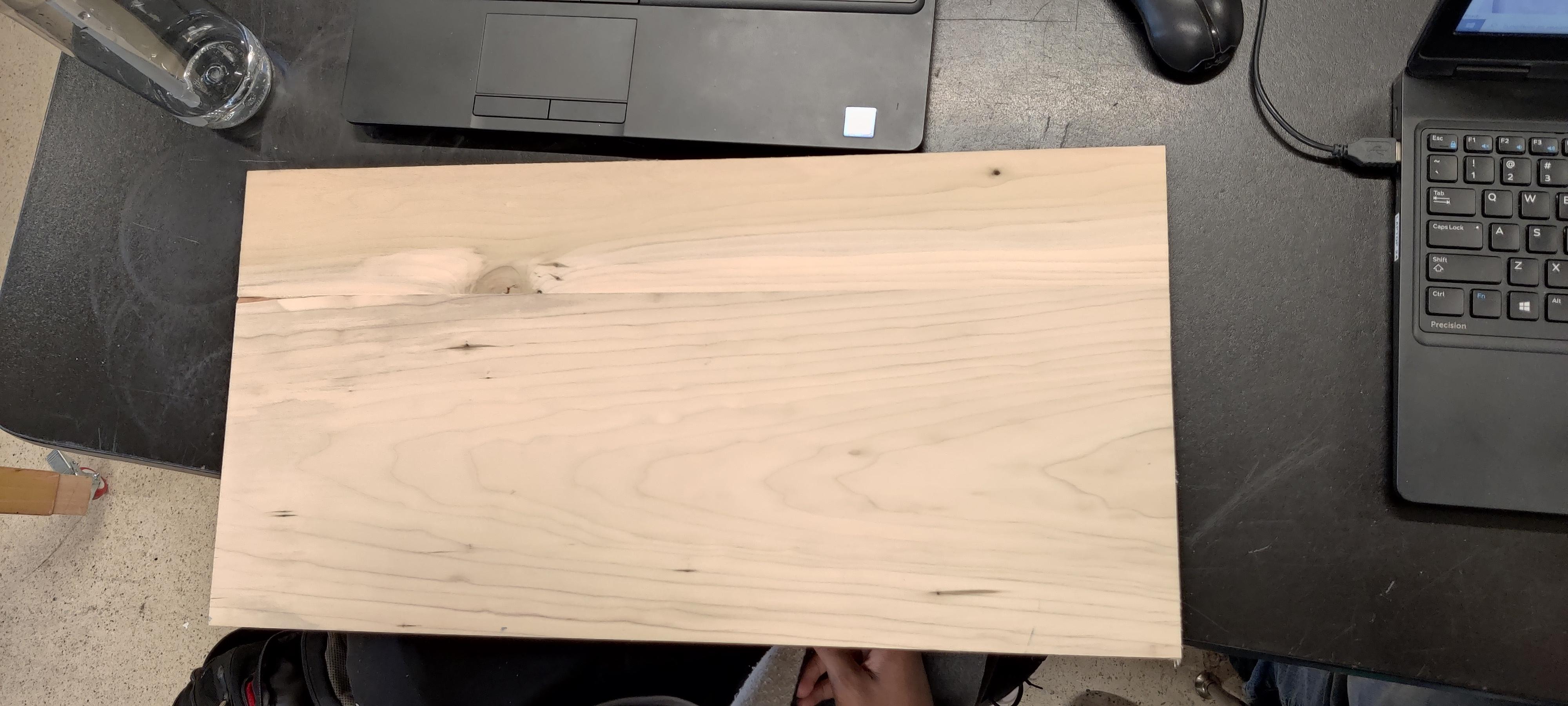
We decided on poplar, a soft wood that the CNC would make quick work out of, measured it, and cut the wood to the specified measurements of the map.
Time for the Details
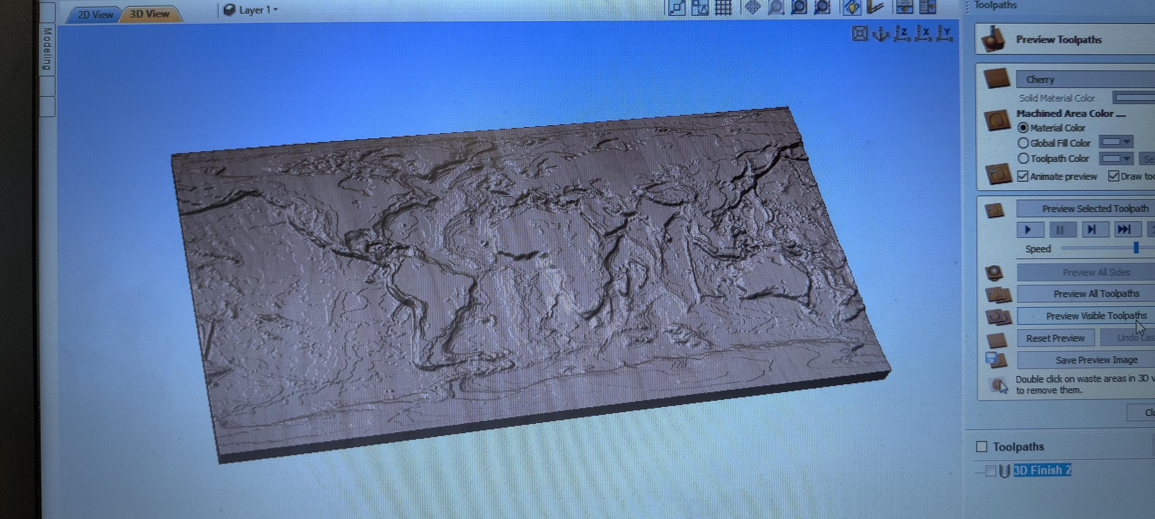
We set up how the wood was going to be cut for the detail of the world by using a program called VCarve. We used a ¼ ball nose for the roughing path, and we used a ⅛ ball nose for all the fine details. We also put some borders around the map so we can see the overlap.
Action!
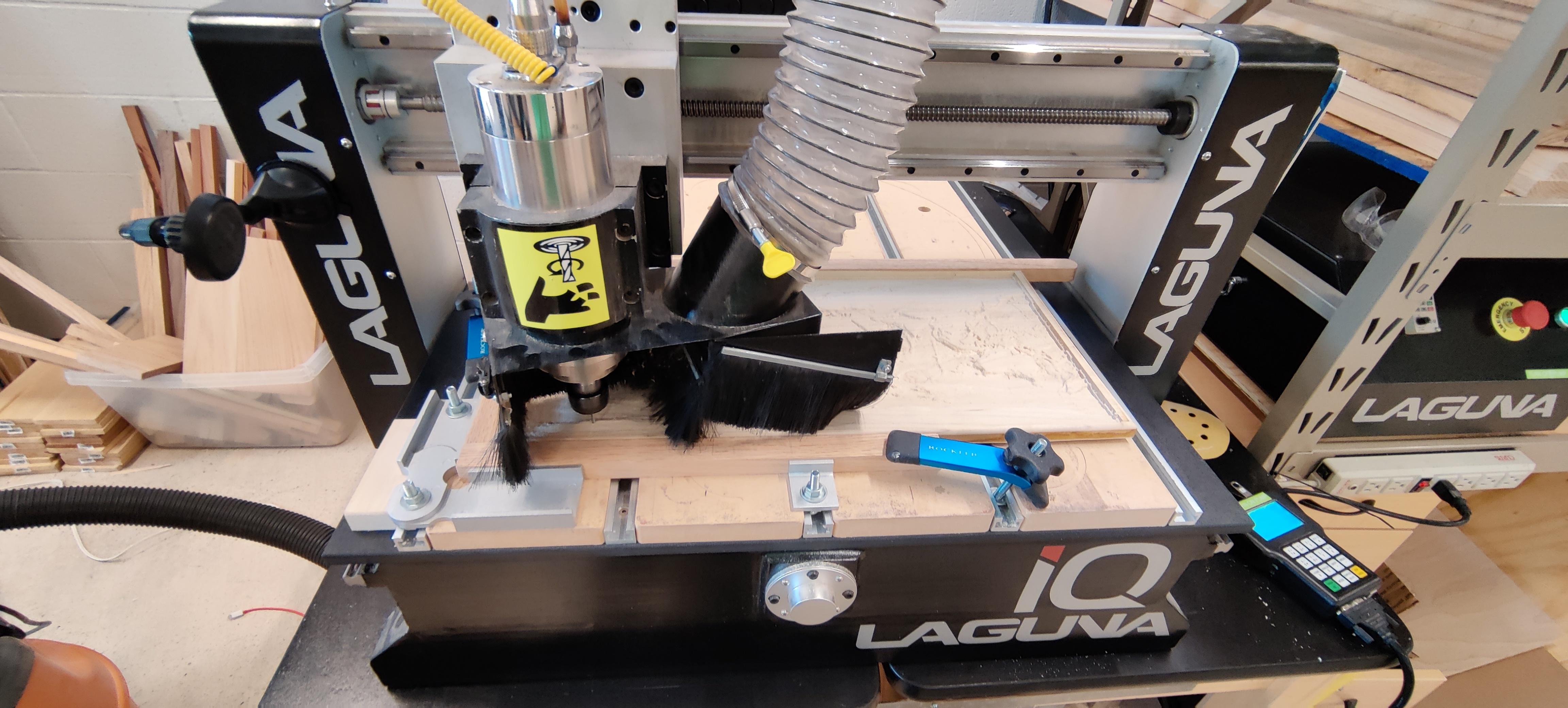
We loaded the 1/4 inch bit into the CNC and loaded the wood up, set our origins and as soon as we pressed that green button we were off to the races. After 3-4 class periods we would have the finished product, well the finished milling there was still resin and paint to go.
The Good Kind of Stain
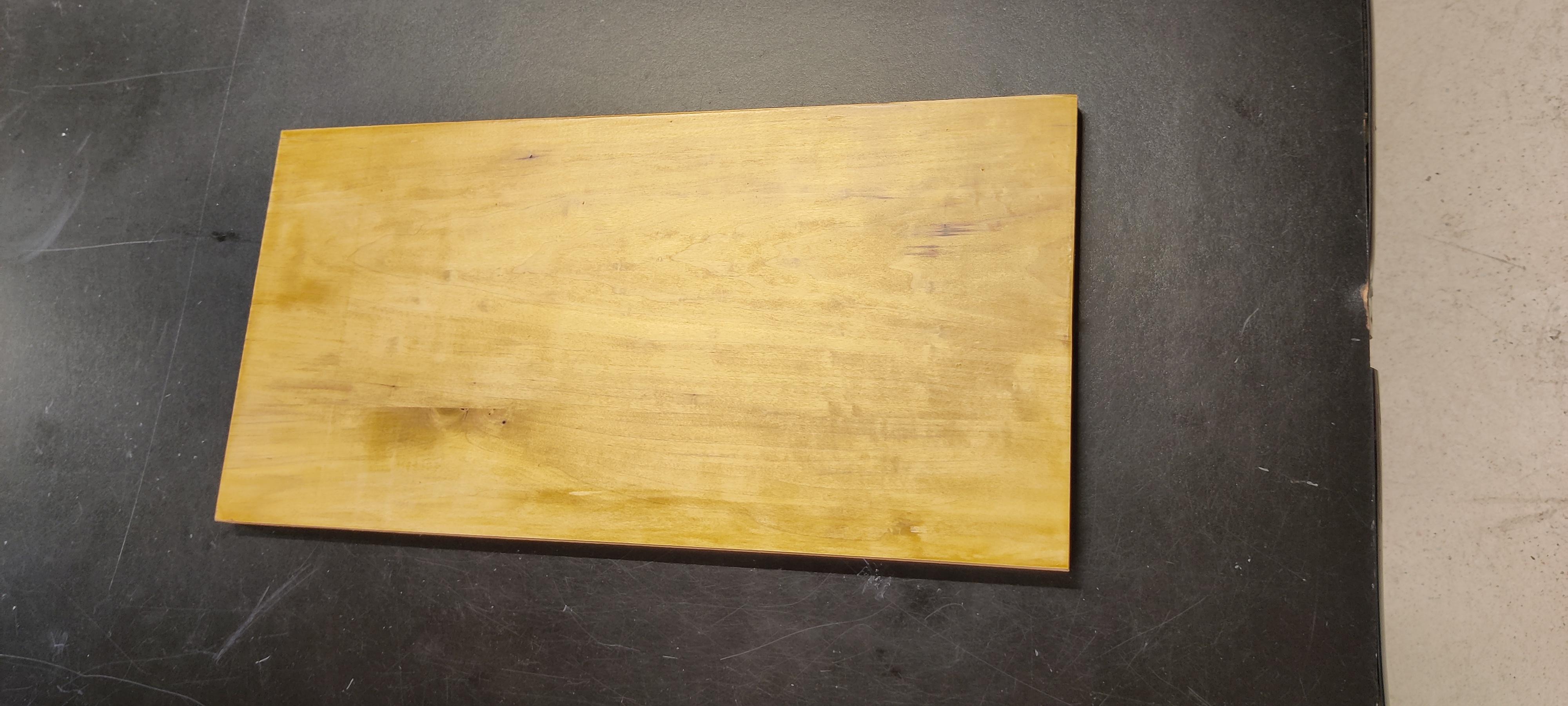
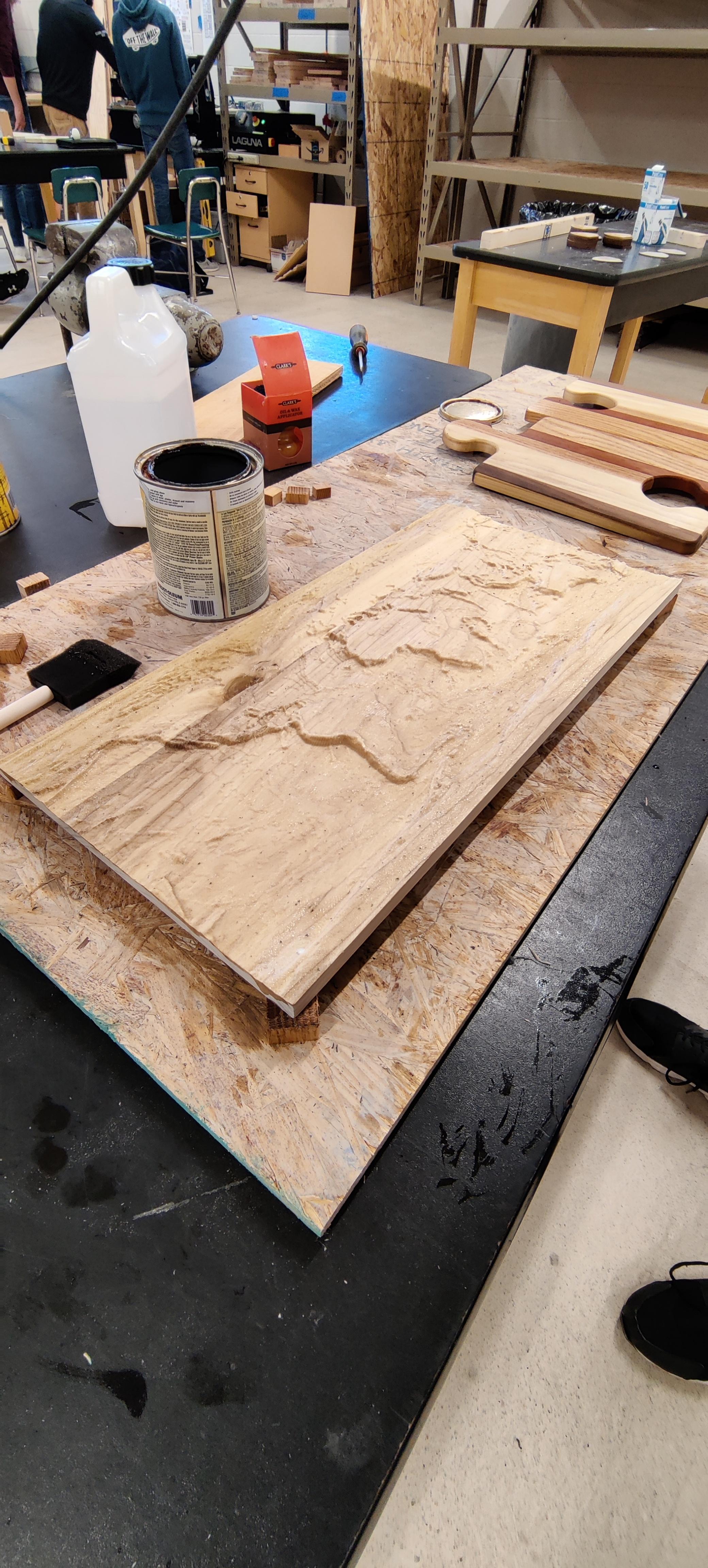
After the milling finished we proceeded to stain the sides and bottom to add to the aesthetic of the piece in its bland and cut out appearance.
What Borders?
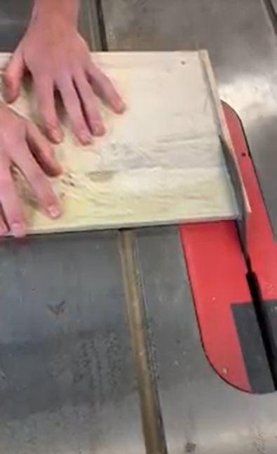
The map inset had some issues with cutting, our code went over the edge and so we decided to have a frameless world, we cut off all the edges of the map and used them as the test pieces for our paints.
That Much Closer to Perfection
.jpg)
We primed and sealed the wood using shellac wood sealant, this prepared the wood for the paint and sealed it off from the resin soaking into the wood.
Finding the Right Background
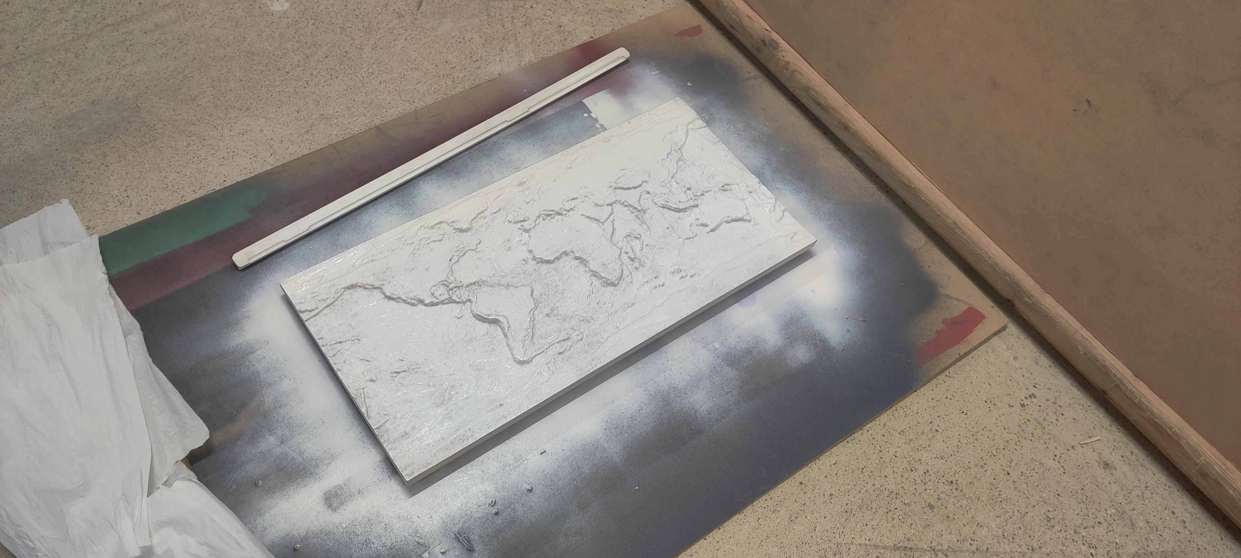
We coated the whole face of the map in white that way it reduces the need for repainting of the snow countries and so it contrasts nicely under the opaque resin.
Ocean Blue
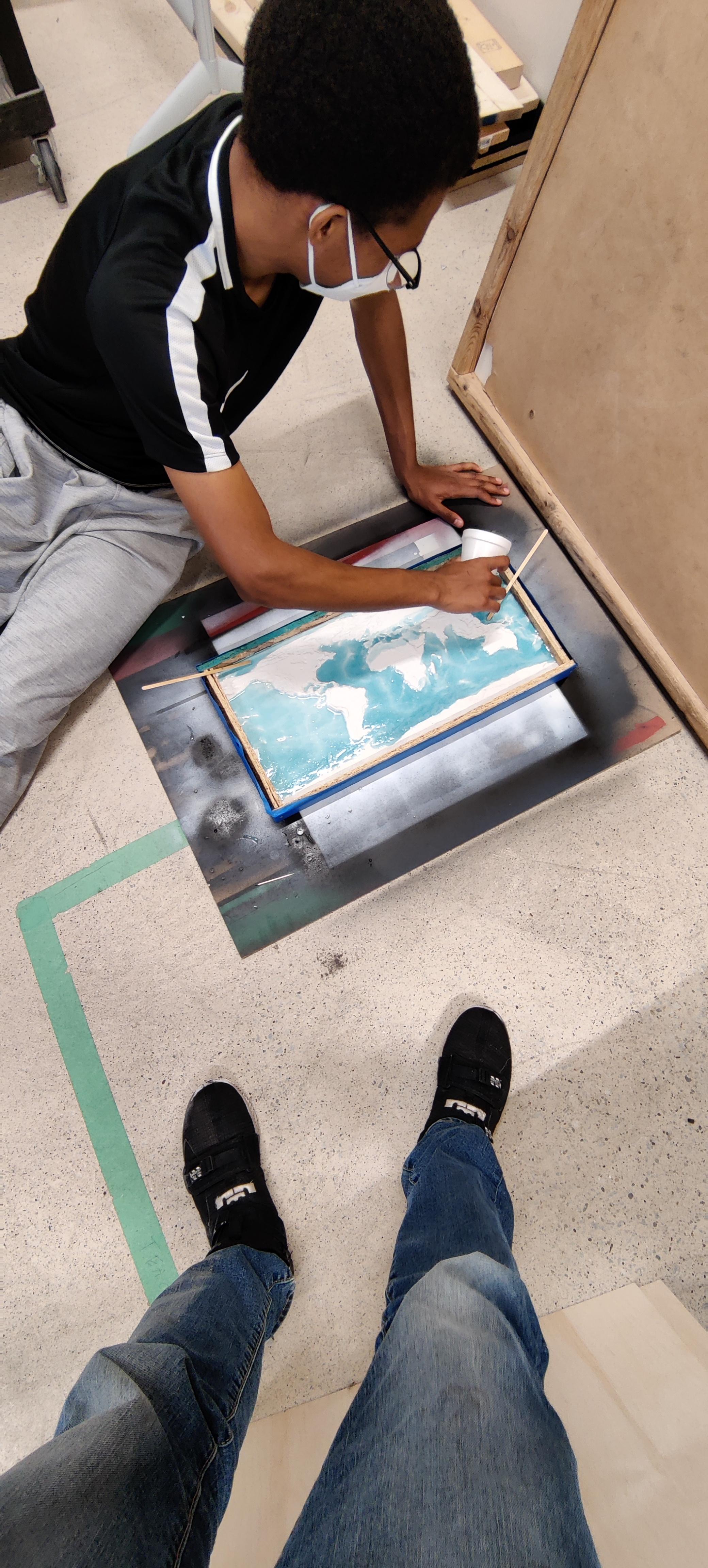
Maybe more than a little, we mixed up a total of 16 ounces of the stuff, and mixed in only 9 drops of food coloring as our dye. Then we started to pour, in the low spots first and right the way up to the top of the oceans many bays.
More Than Just White
.jpg)
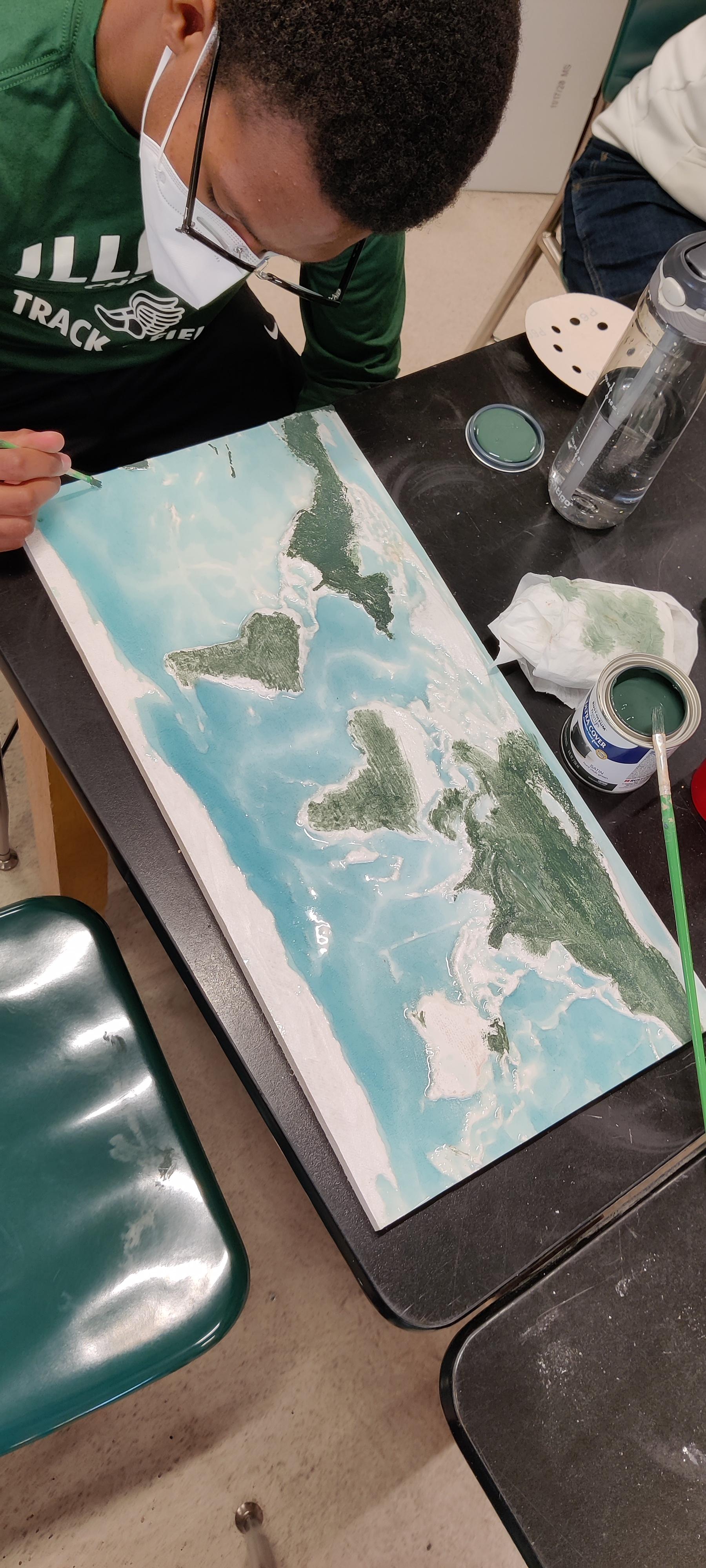
We started with a layer of Green and did the whole map (except the white) and then came back in with the sand colored paint to add in the deserts.
Clean It Up a Little
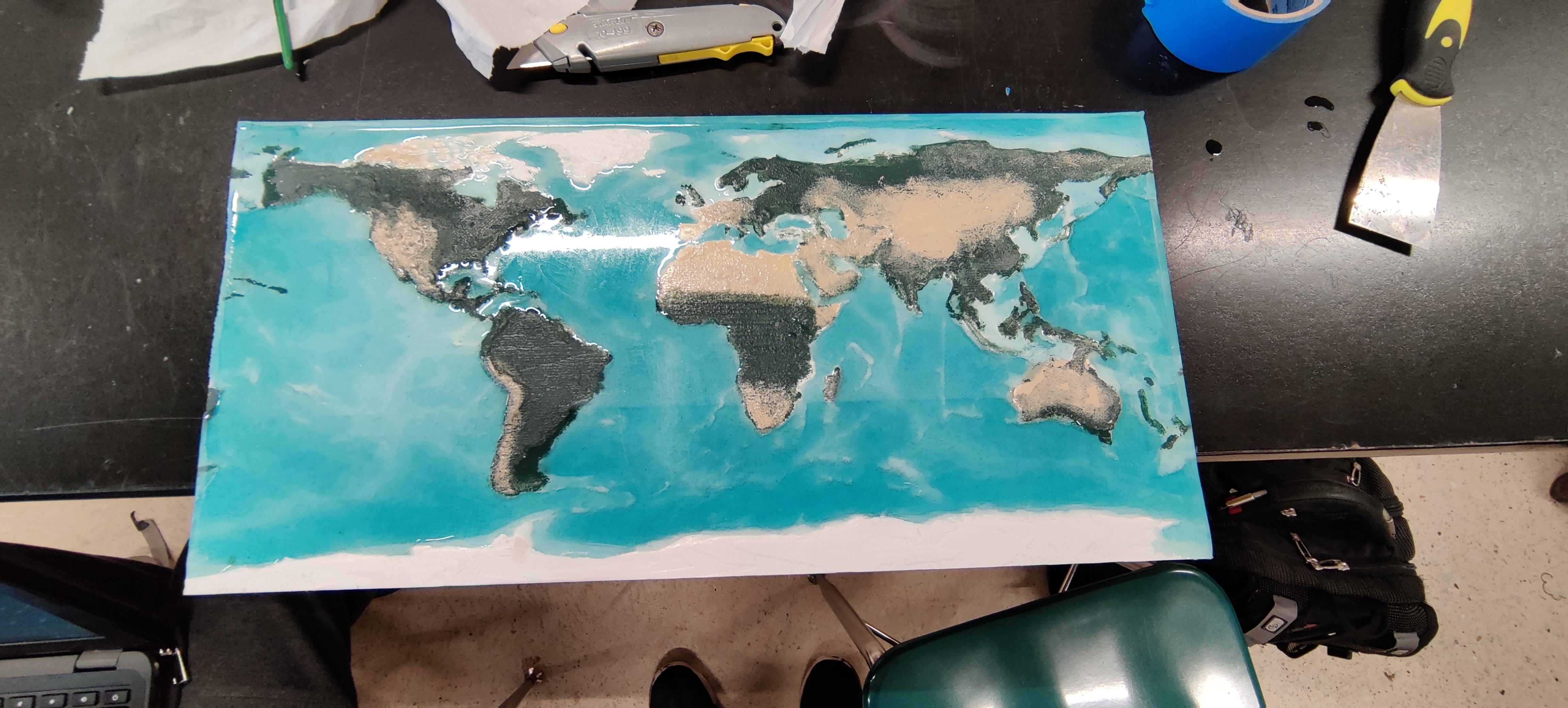
Some small detail work led to sanding of some resin spills and overgrown oceans. This sanding led to some repainting but in the end it was worth it the extra work. The fading from one color to the next was the hardest part because of the lack of a variety of colors. we polished up the resin and photographed it like the star of the show it is.