3D Kinesthetic Child Friendly Salt Dough Maps
12326 Views, 3 Favorites, 0 Comments
3D Kinesthetic Child Friendly Salt Dough Maps
.JPG)
Want a project which will inspire curiosity in your child? Want to inspire knowledge and respect for people and places around the world? Try making a fun & easy salt dough map. It helps children who have difficulty learning and remembering through textbooks, by using kinaesthetic learning. Why not make all the continents for a great classroom display?
Geography and art subjects covered by this activity: Geography (countries, capital cities, topographical features) Art (sculpture, proportions)
Grade levels: Pre-school to Grade 7 depending on how detailed map is and the independent research required of the student. This project is very adaptable.
For younger children, pre-prepare the map and have them follow the outline of the map with the dough. Once dry paint it up.
For older children you may choose to make the maps very detailed and ask them to research the country and it's features for themselves. In this instance, you will also need to provided resources for the research (e.g. books, photographs, maps, internet)
Materials
.JPG)
.JPG)
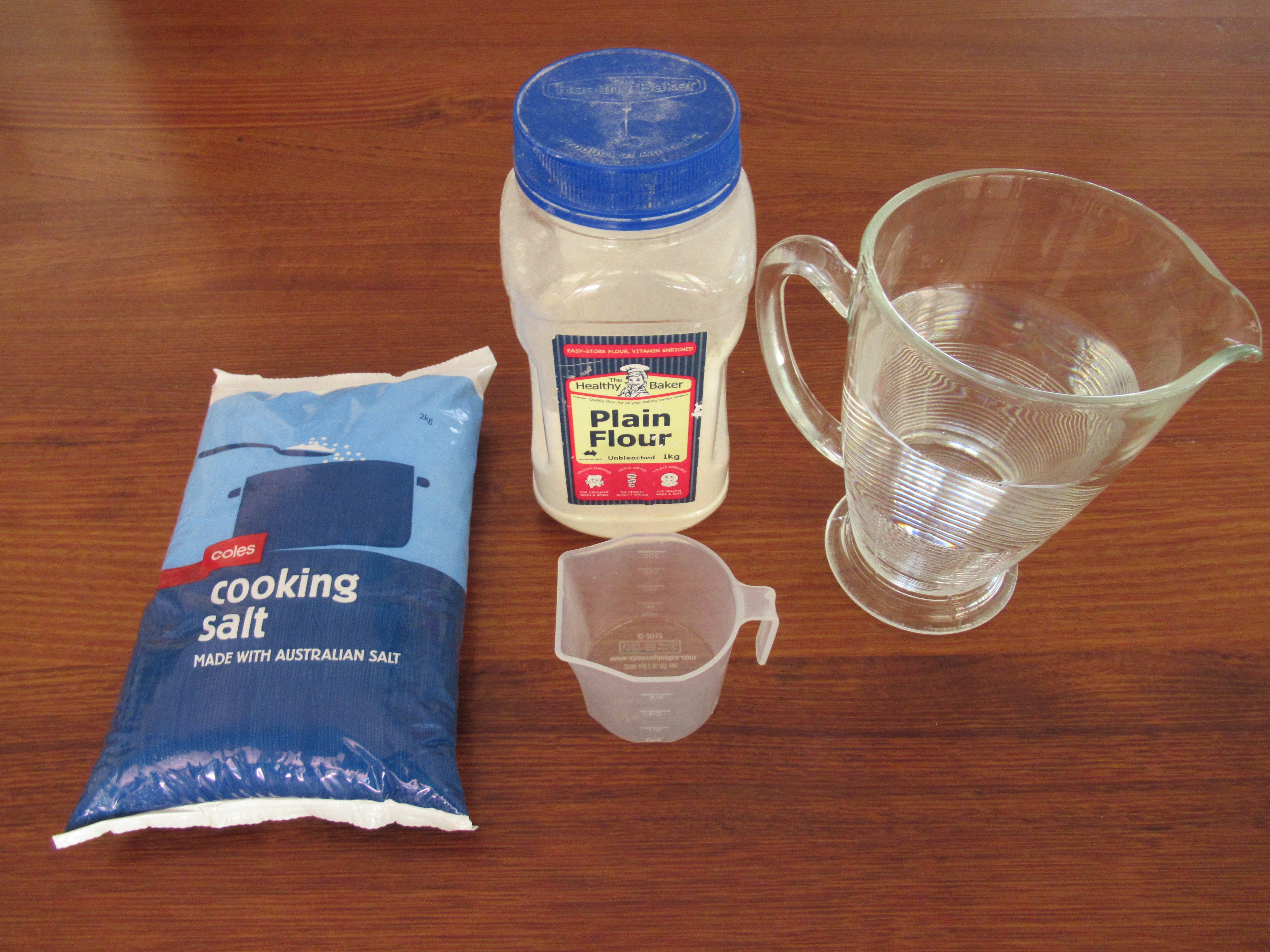
To make the salt dough you will need:
Flour
Salt
Water
For the rest:
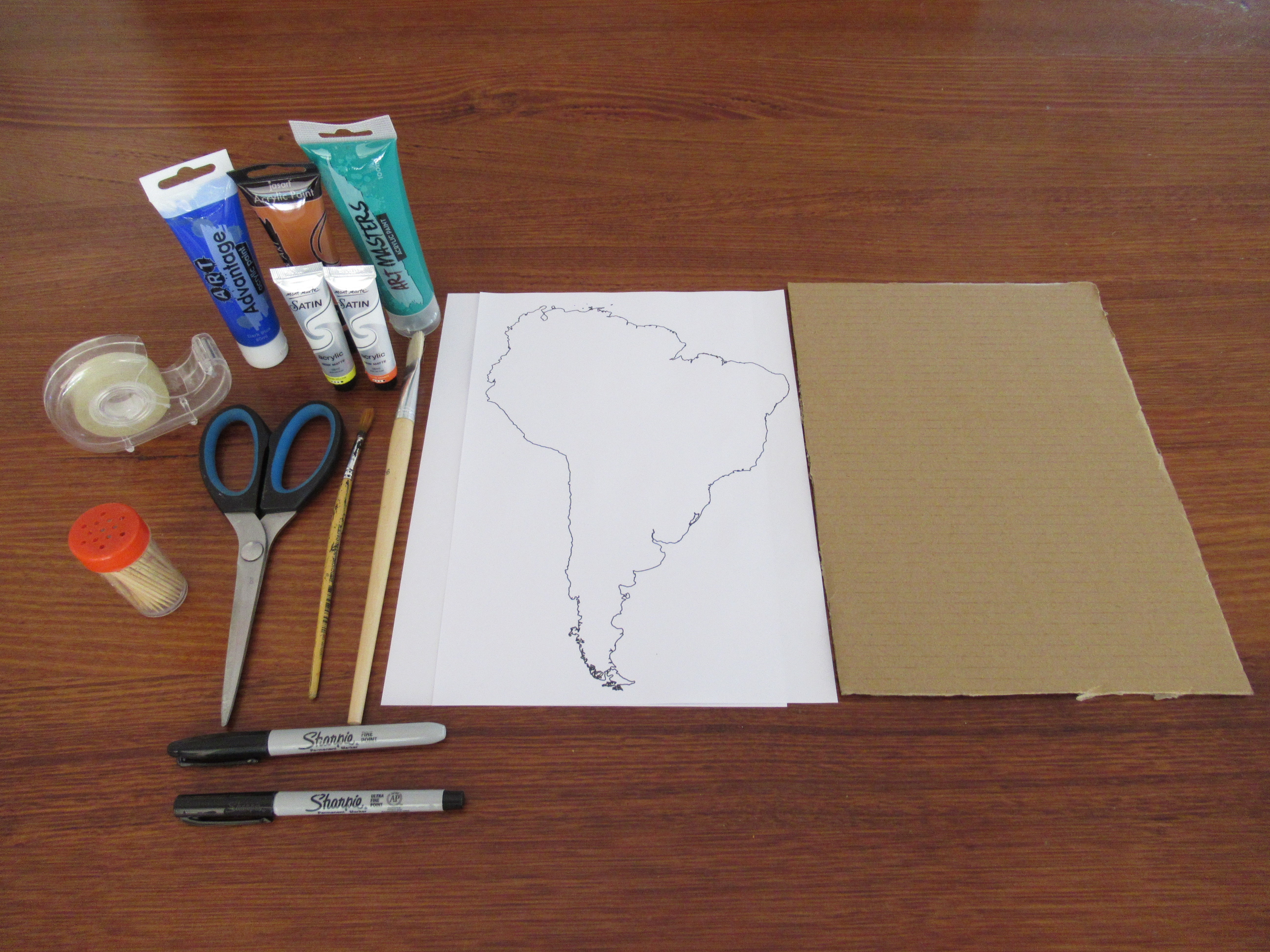
Cardboard cut to size A4
Printed outline of any continent / country
5 Paints of choice
Paintbrushes
Sharpie and Fine Sharpie
Toothpicks
Paper to make labels
Cello tape
Scissors
The Key
.JPG)
.JPG)
.JPG)
.JPG)
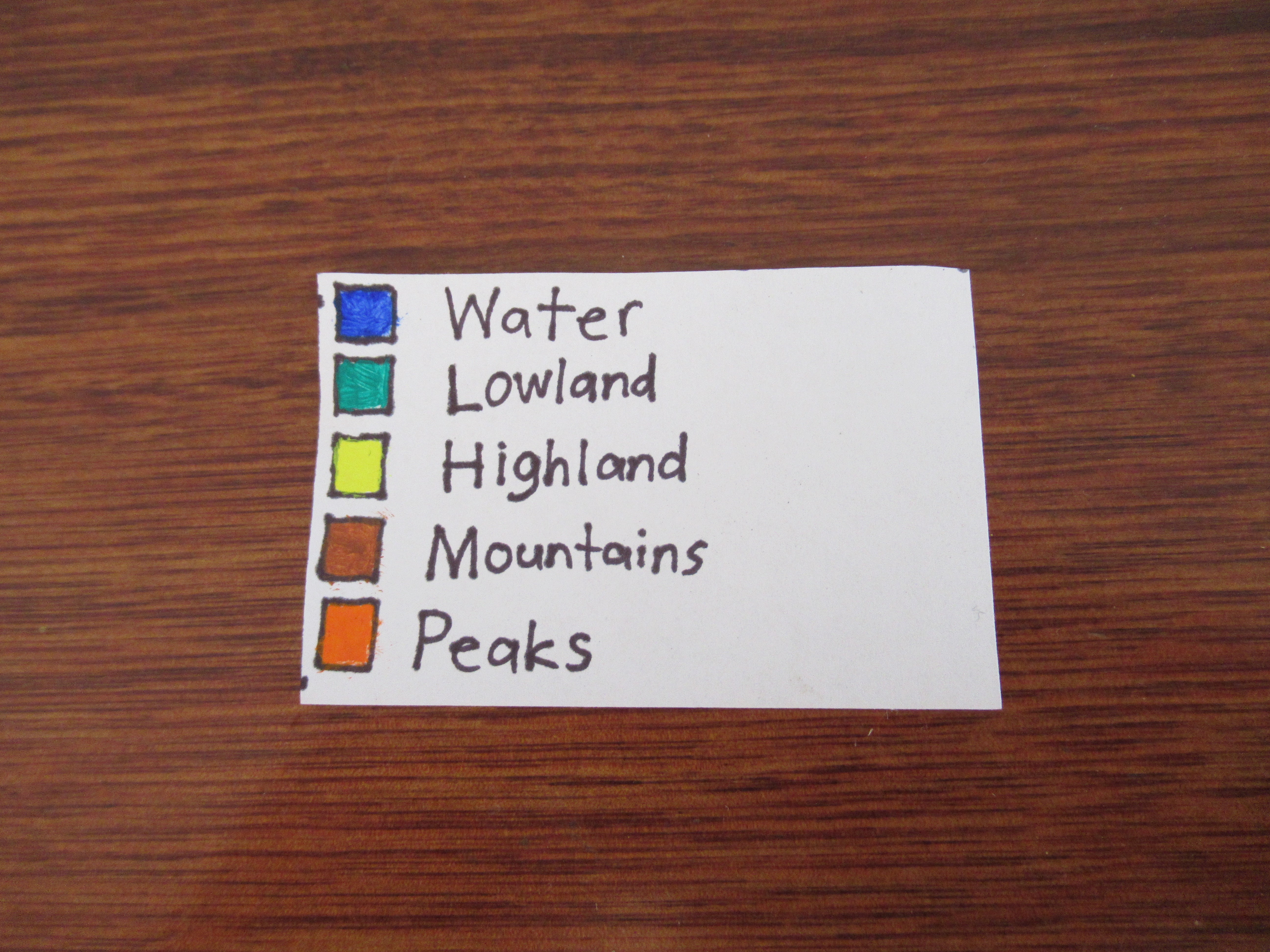
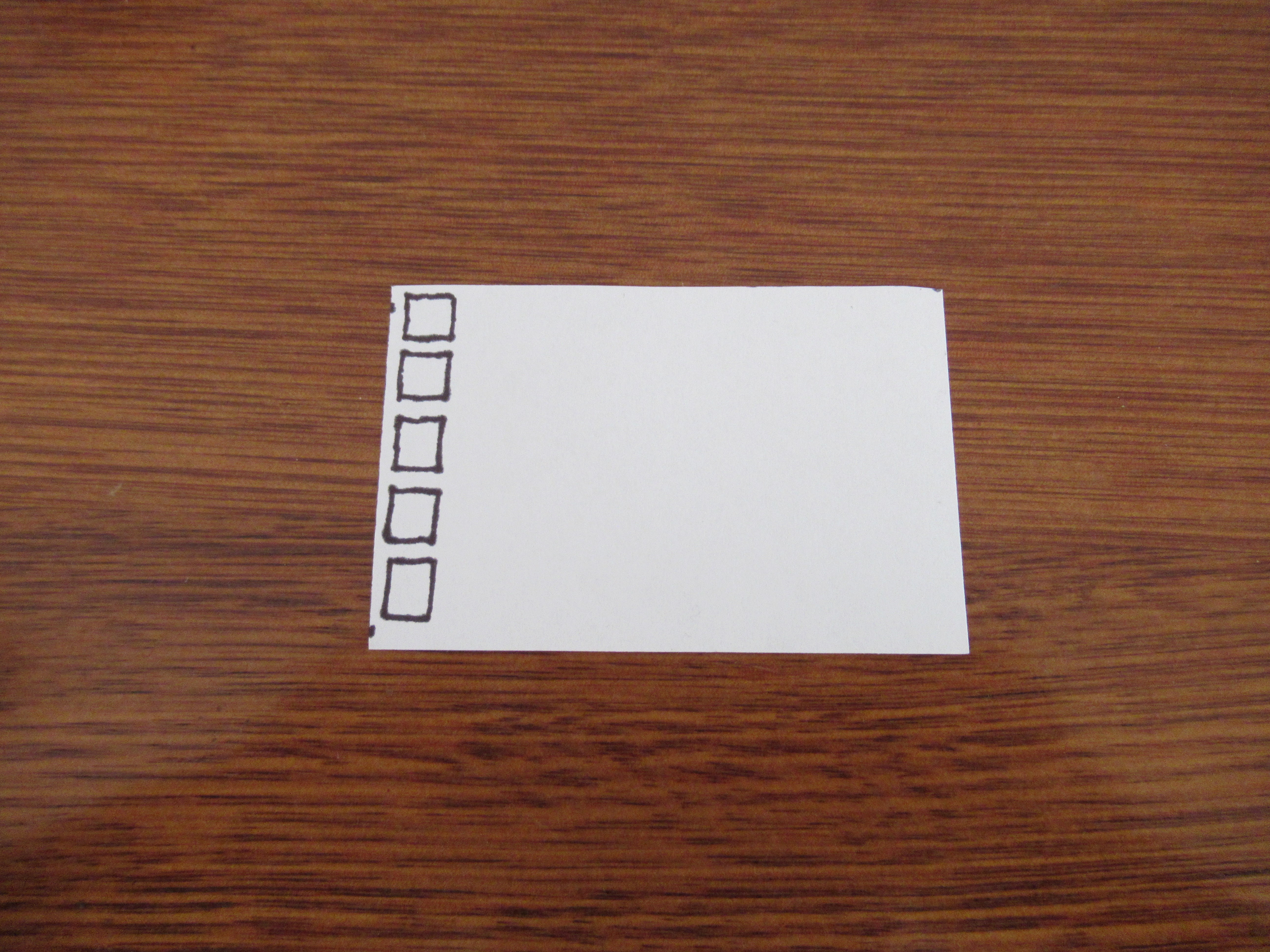
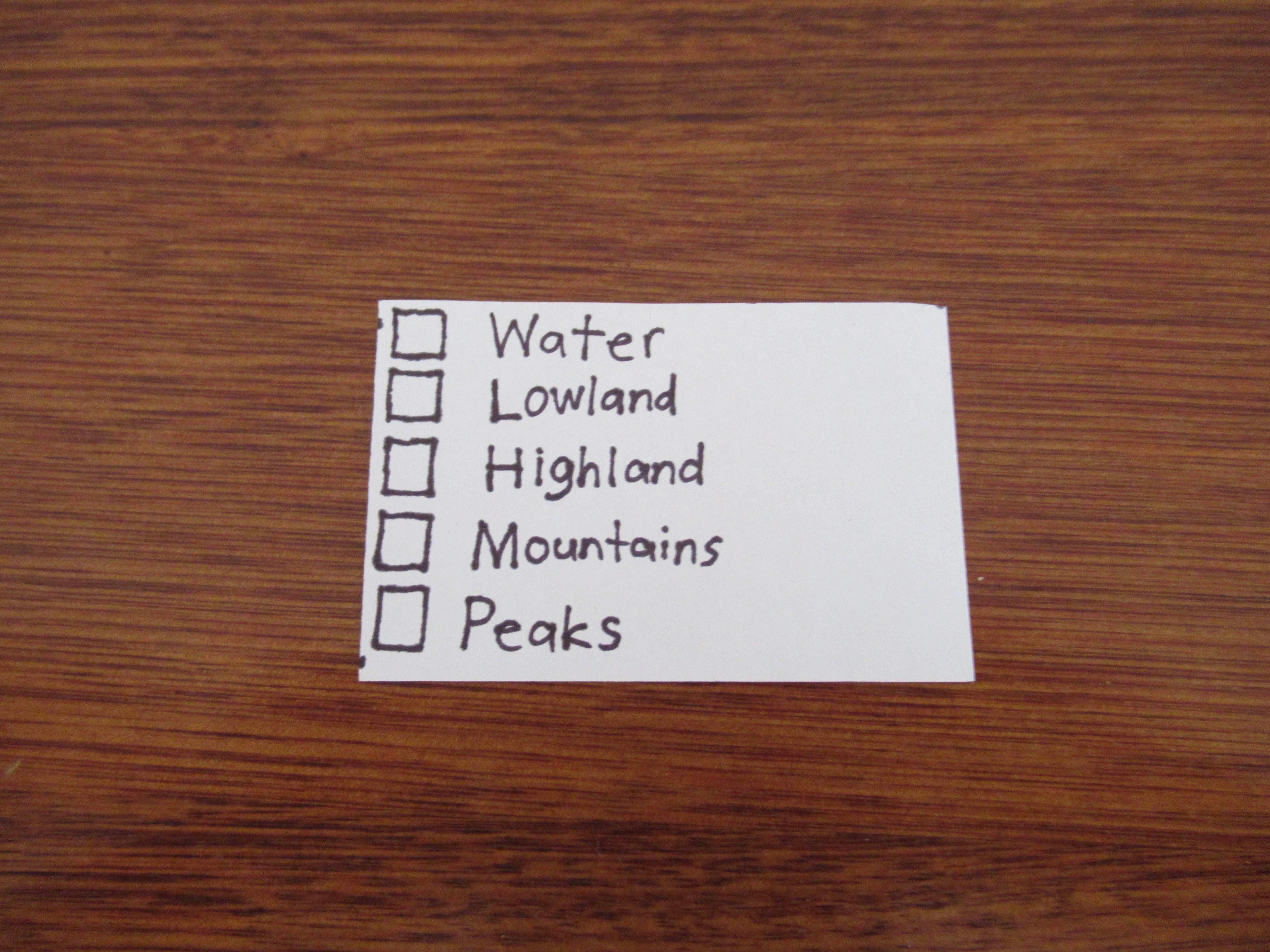
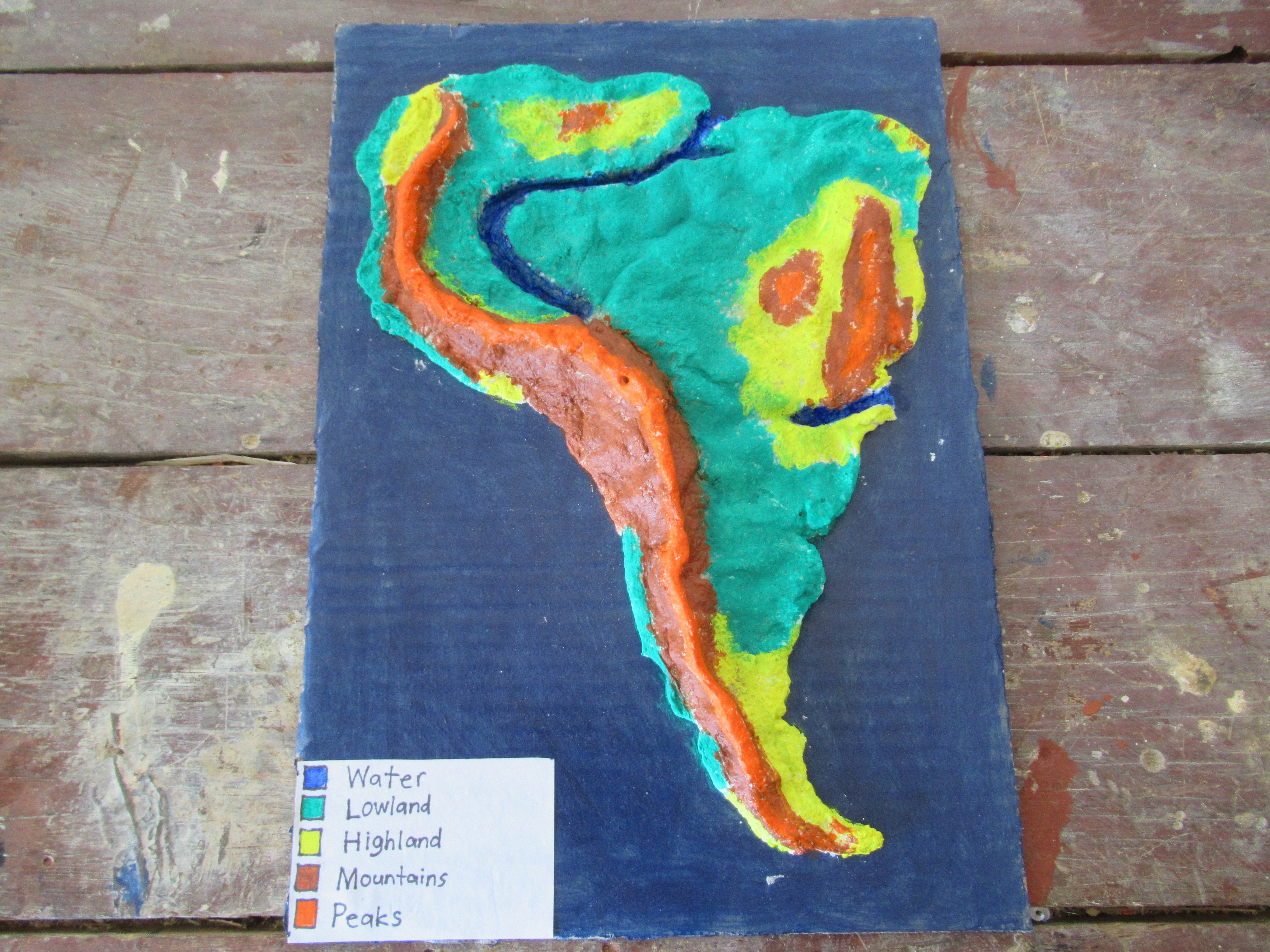
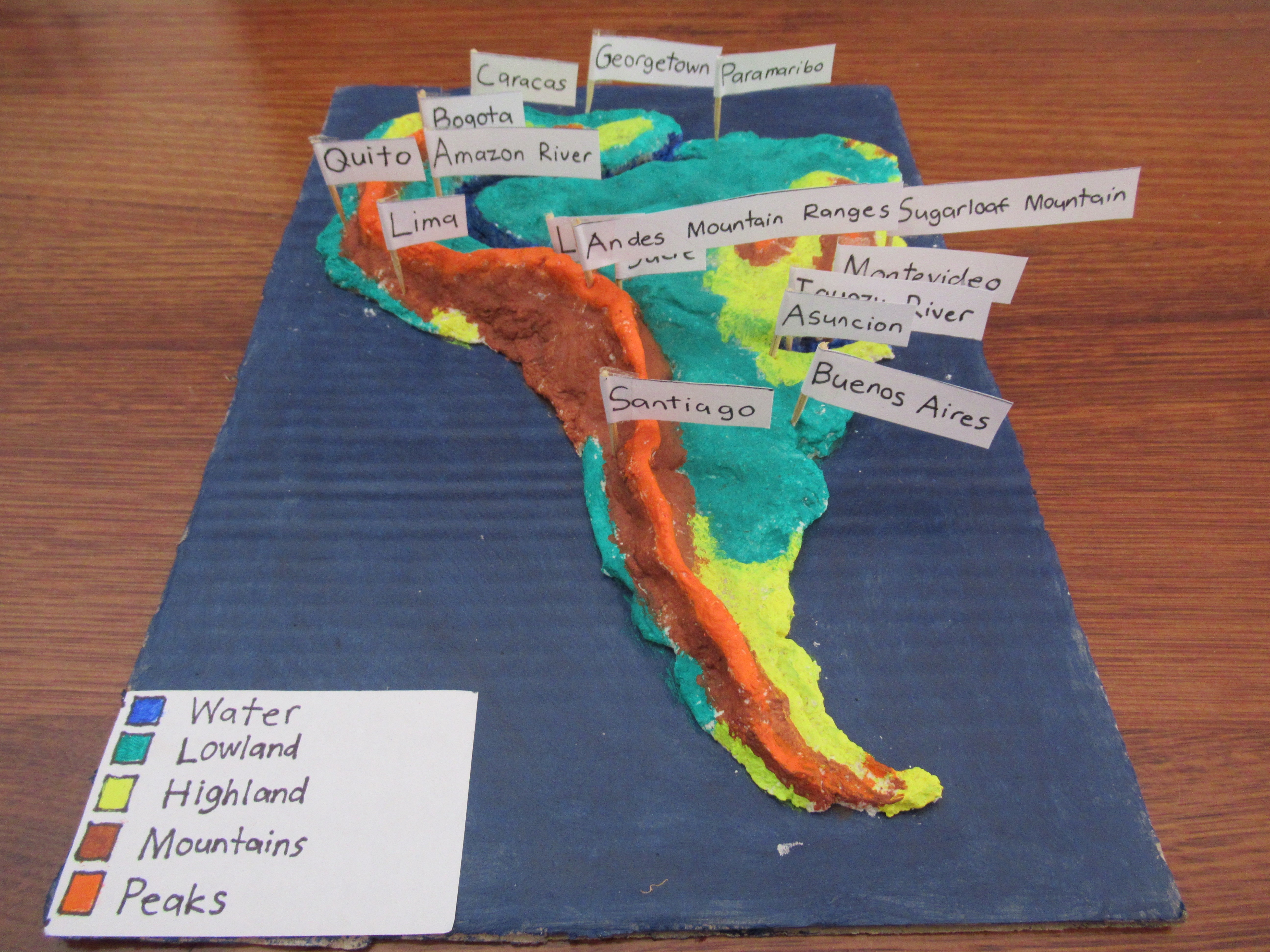
For this step,cut out a piece of paper and draw 5 boxes. Mark 5 categories, Water, Lowland, Highland, Mountains and peaks. For each altitude category, paint the box using the same color as you will use on your map.
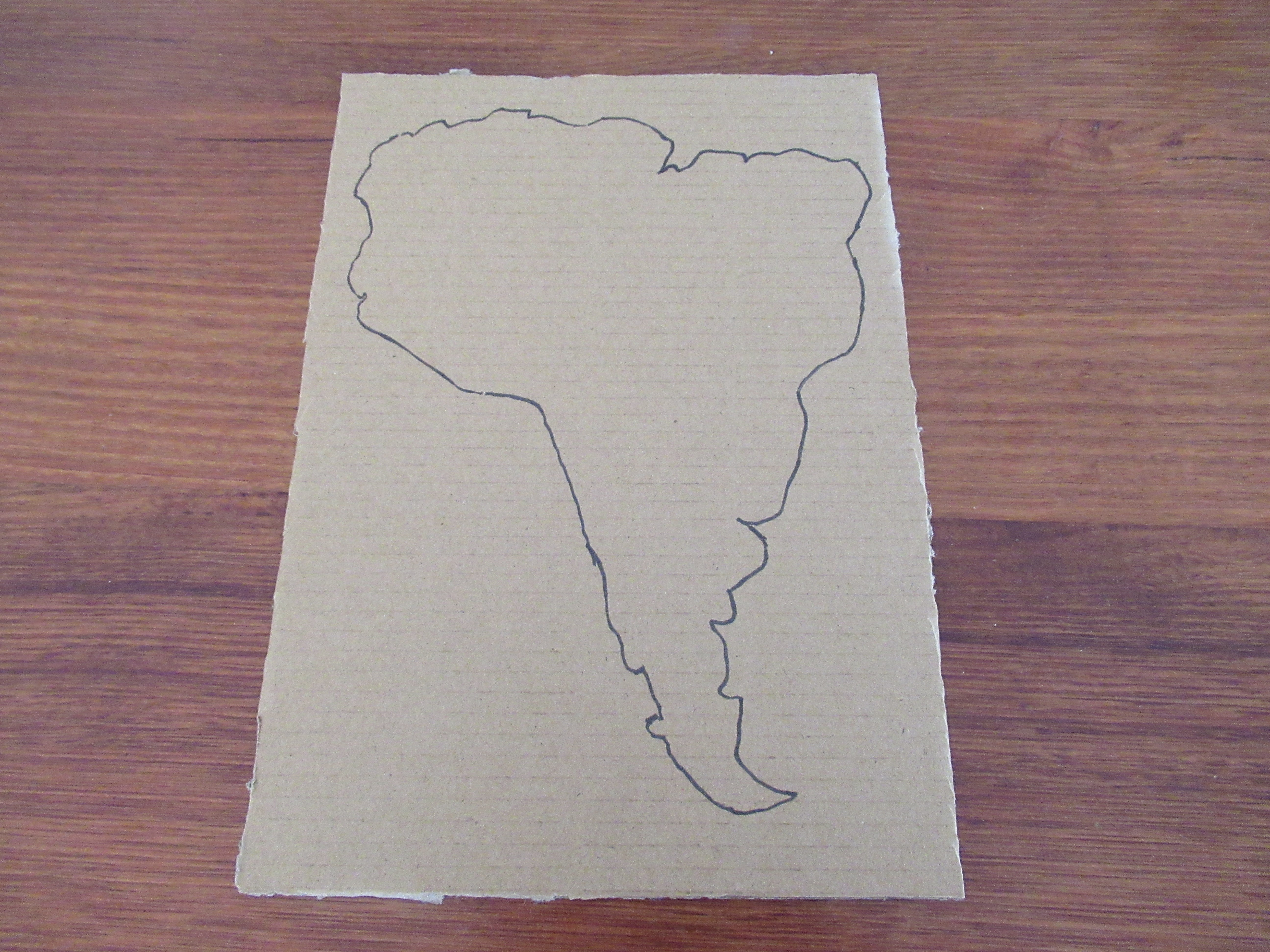
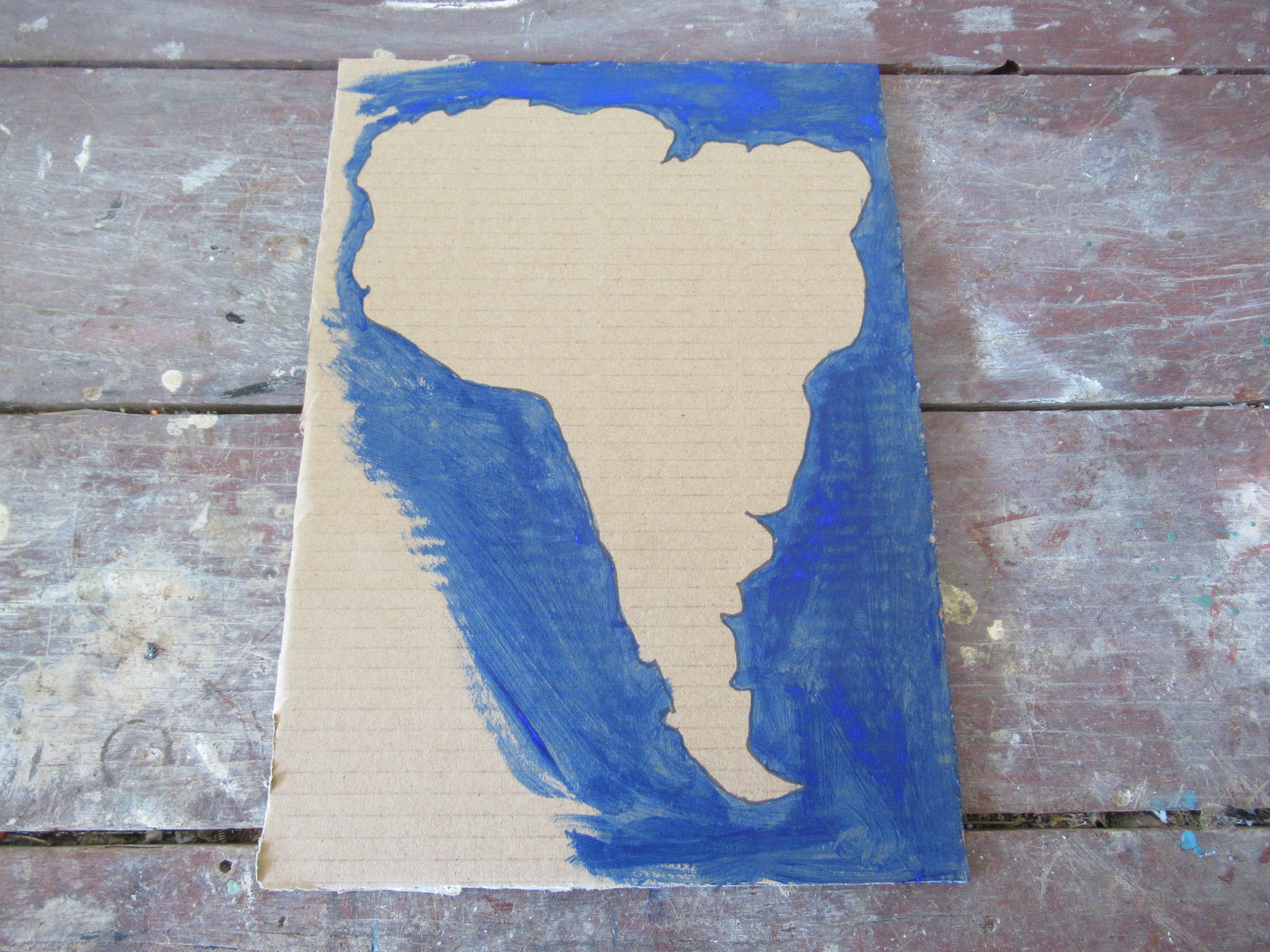
Tracing
.JPG)
.JPG)
.JPG)
.JPG)
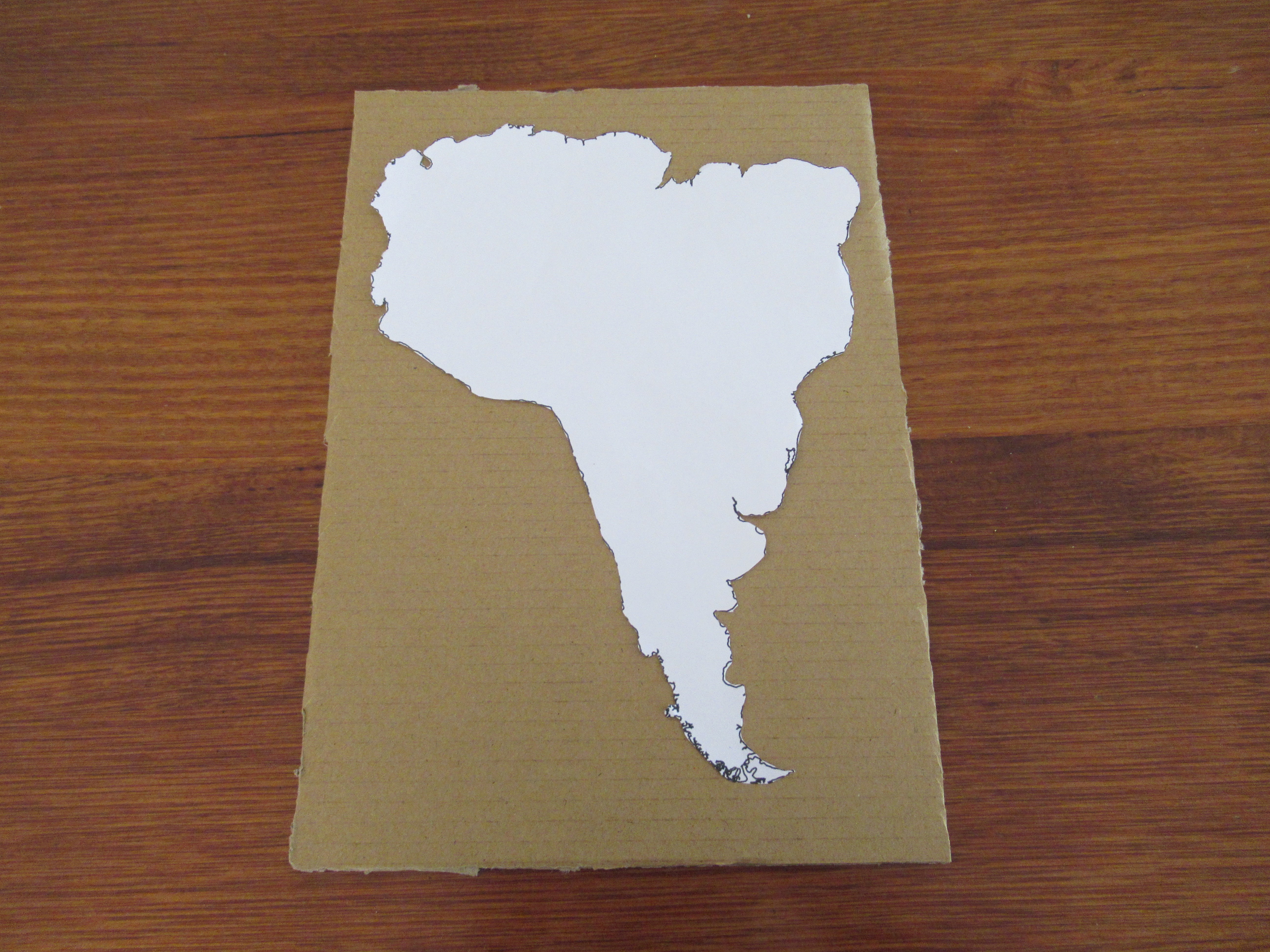
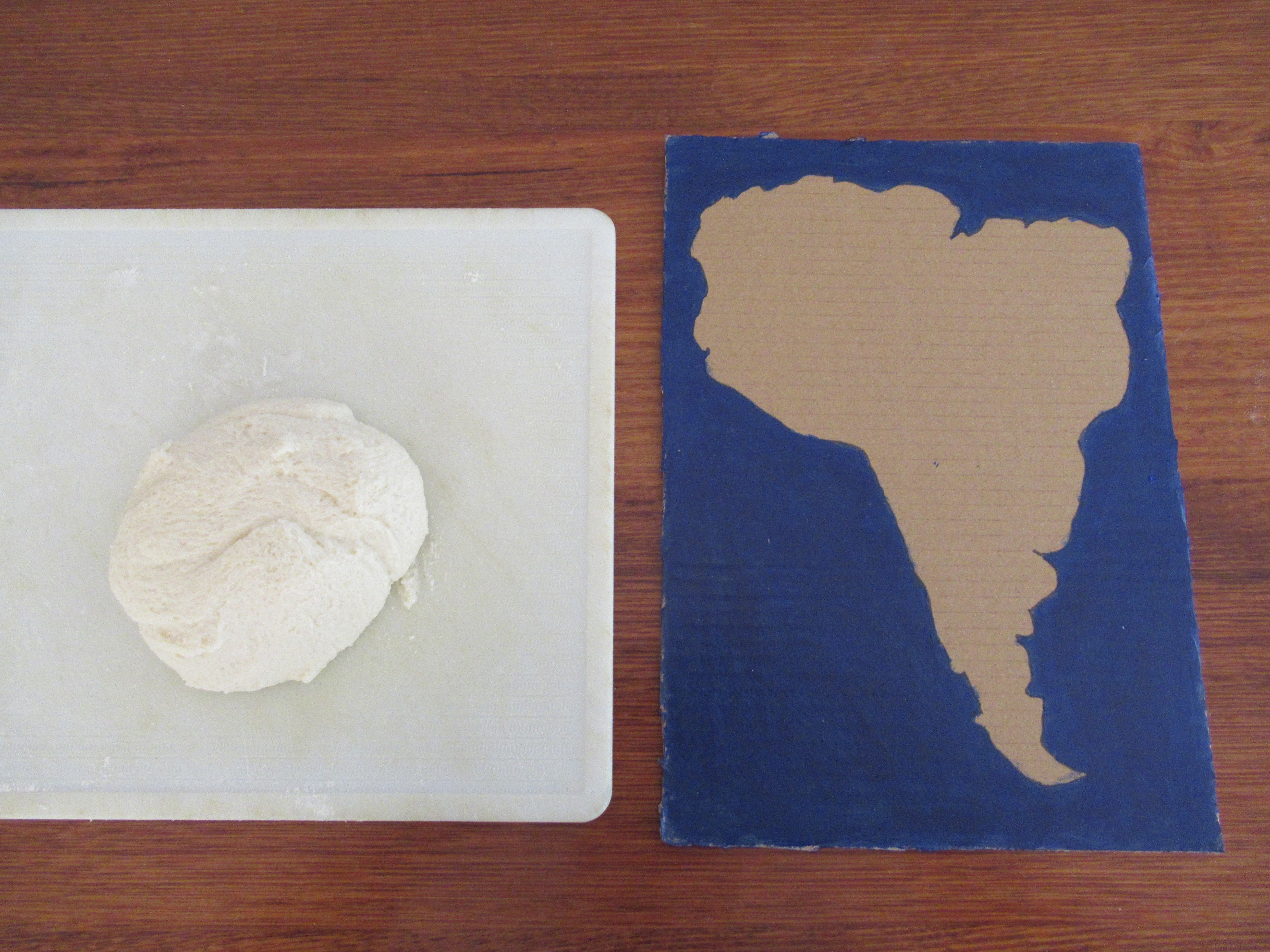
Cut out the printed map, and trace it onto your piece of cardboard. The tracing doesn't have to be perfect, you only need the general outline. You will be pushing the salt dough on so don't worry about tracing the little details. Now, paint around the outline blue, this will be the ocean.
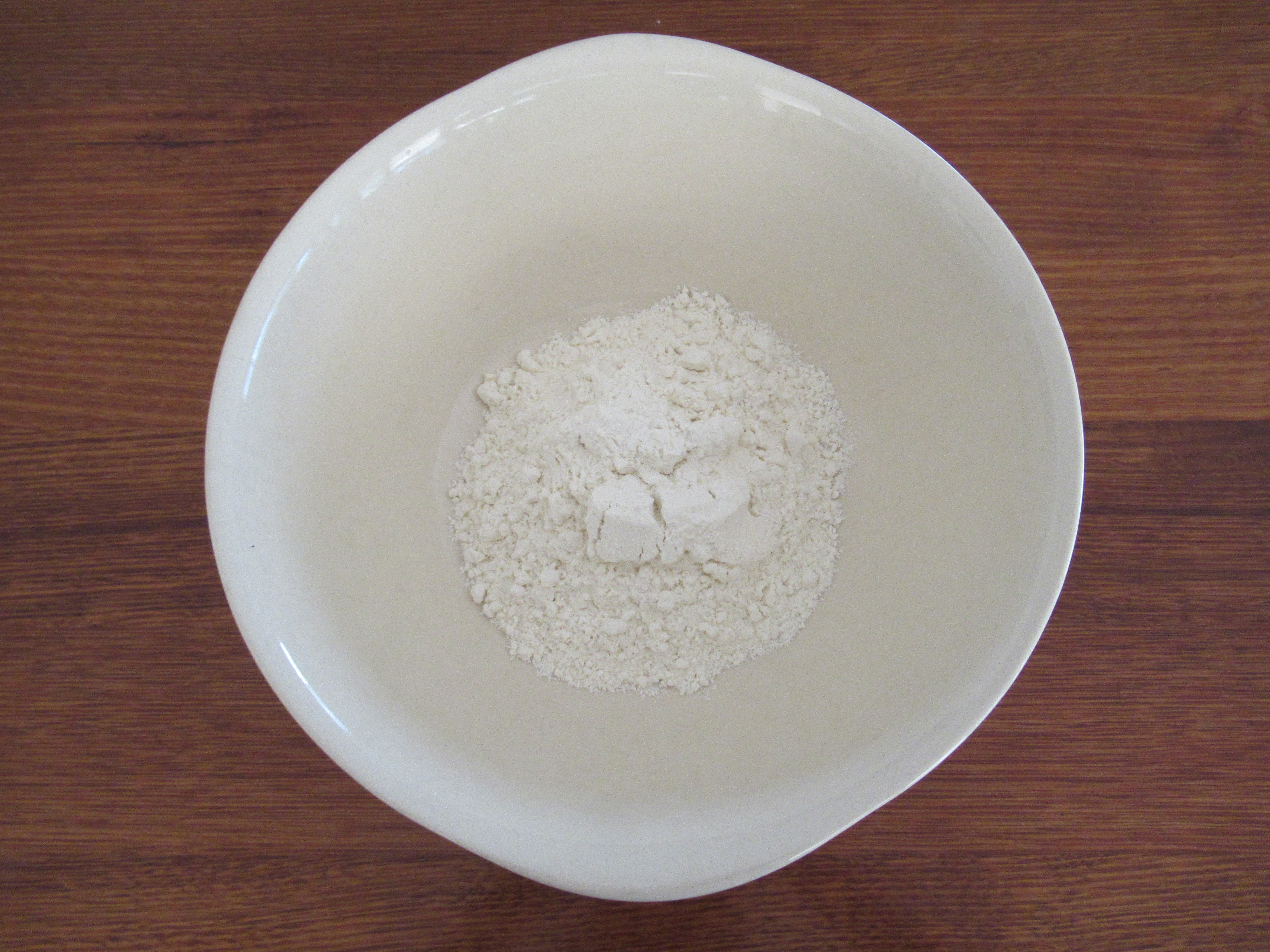
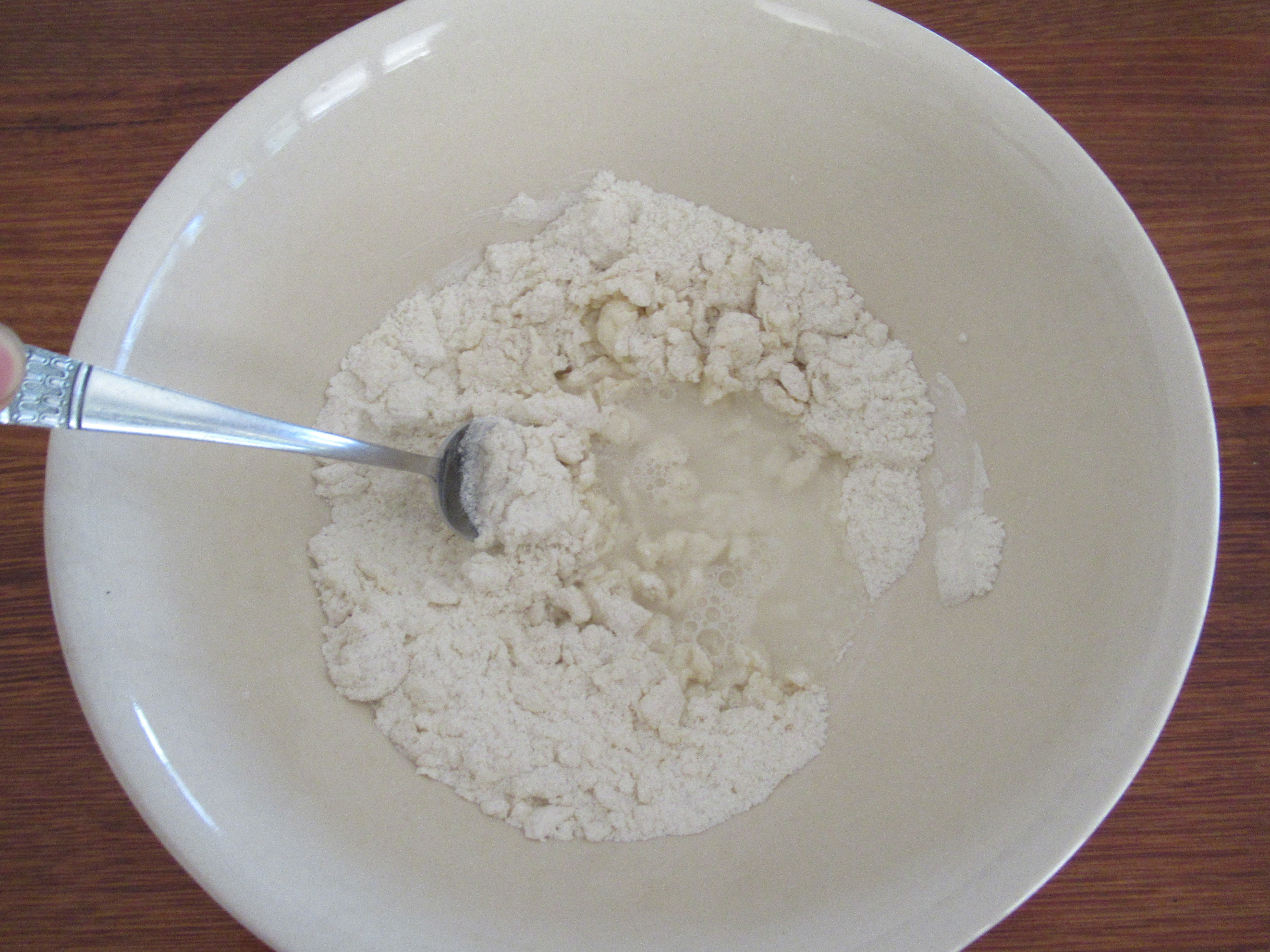
Making the Dough
.JPG)
.JPG)
.JPG)
.JPG)
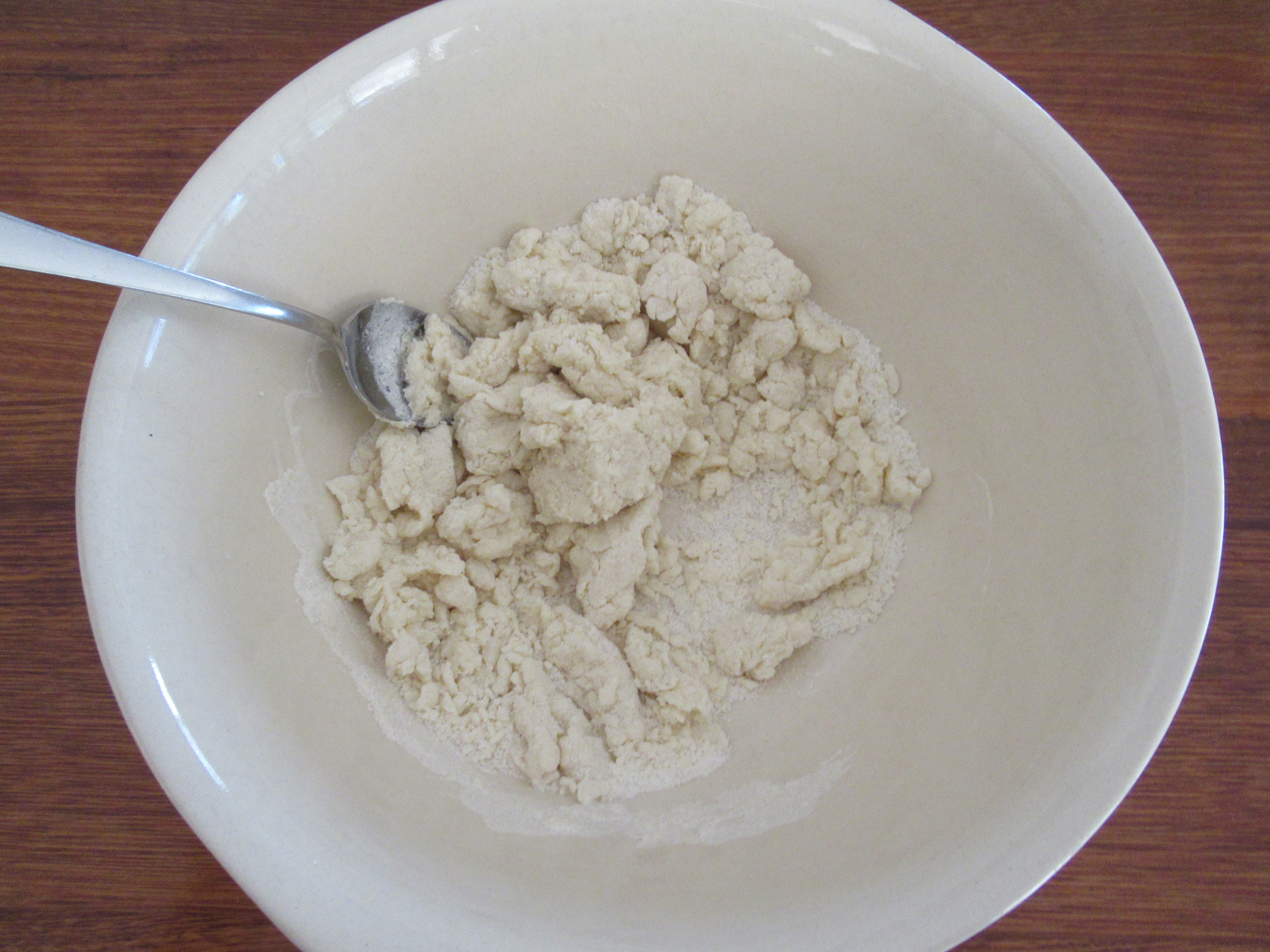
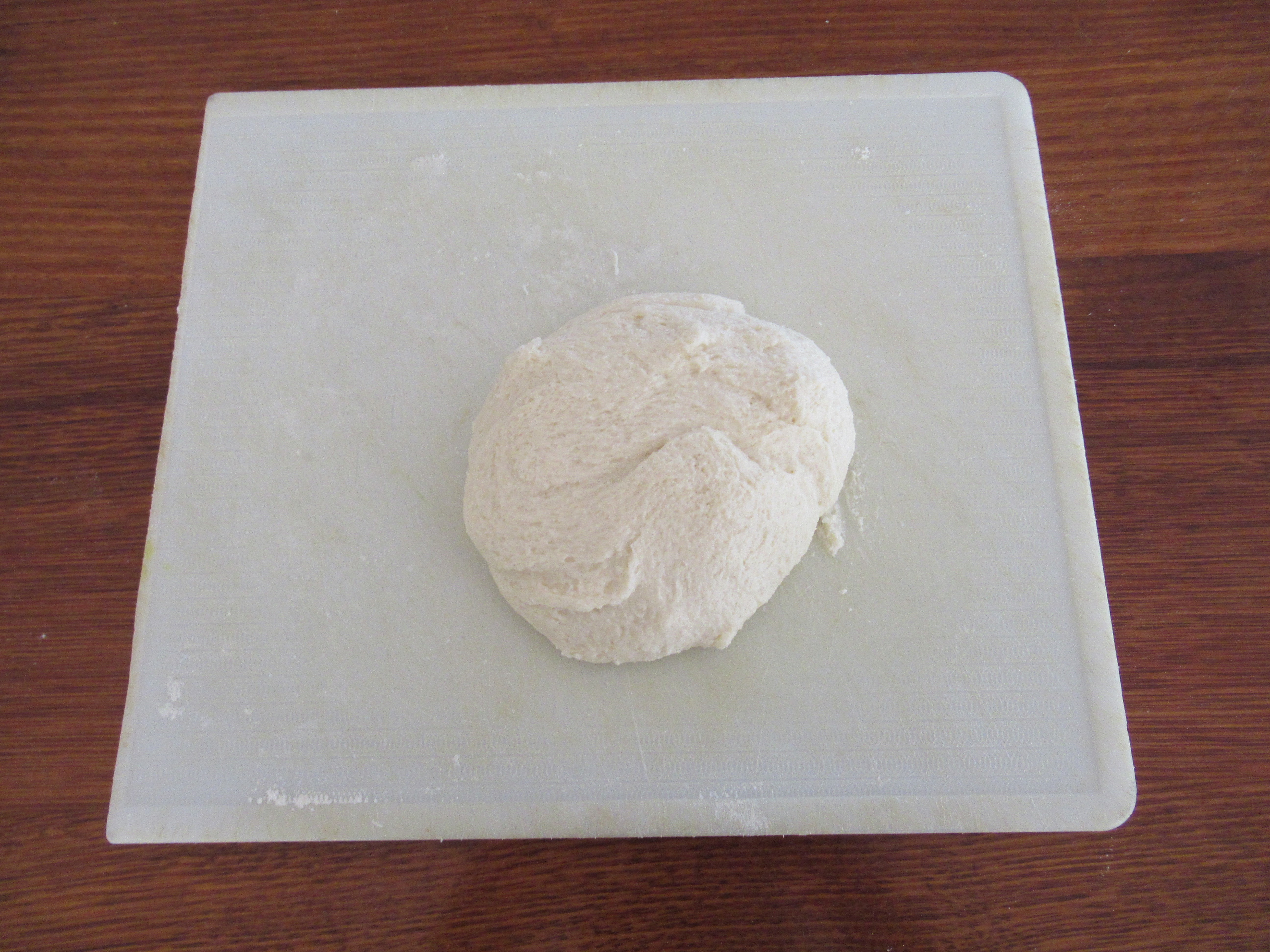
To make enough dough for 1 A4 size continent / country. Mix 1 cup of flour, with 1/2 a cup of salt. Then gradually mix in 1/2 a cup of water, stiring thoroughly. When the dough is slightly stick and coming together, take the dough out of the bowl and knead it on a lightly floured surface.
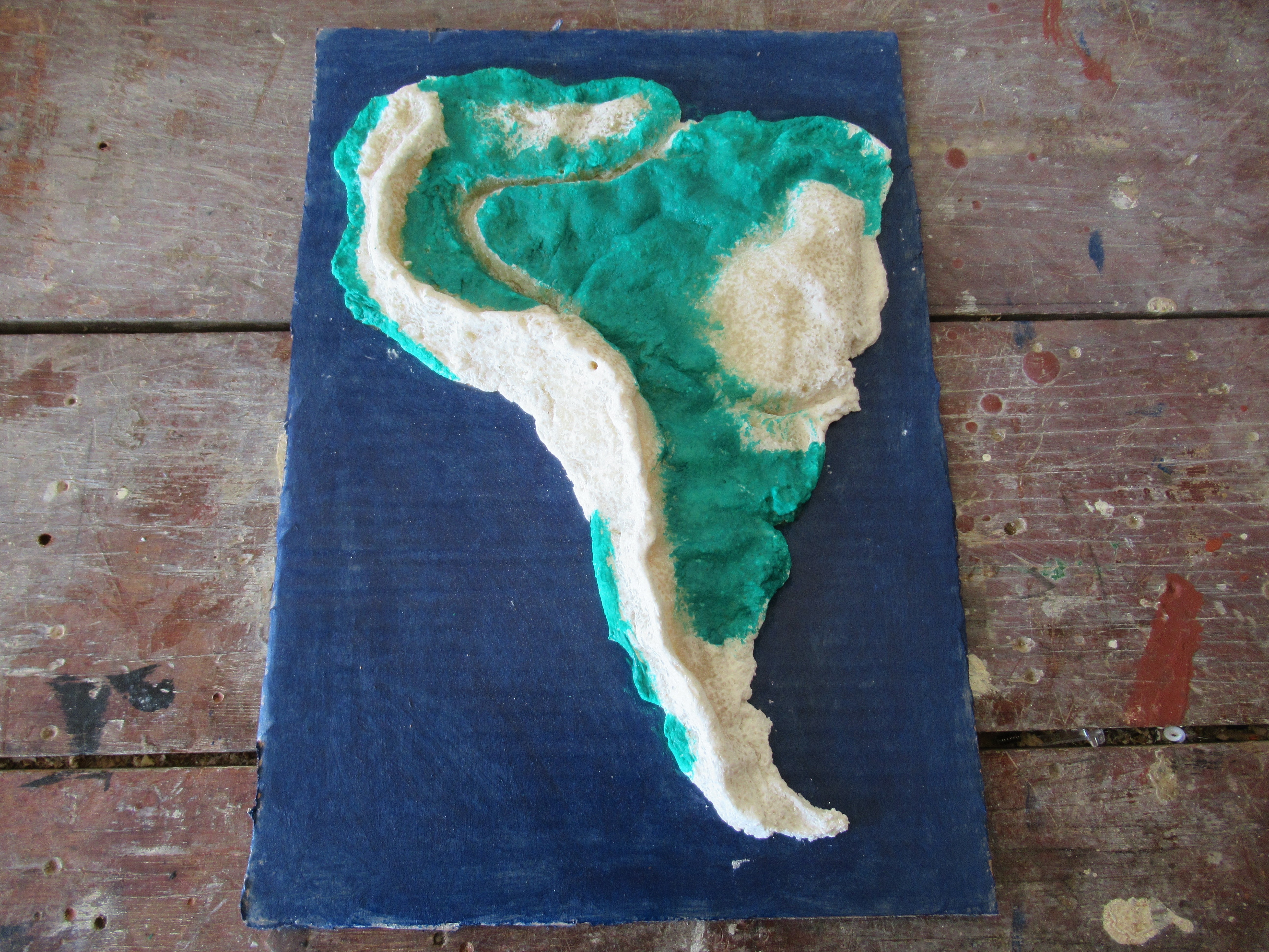
Attaching the Dough
.JPG)
.JPG)
.JPG)
.JPG)
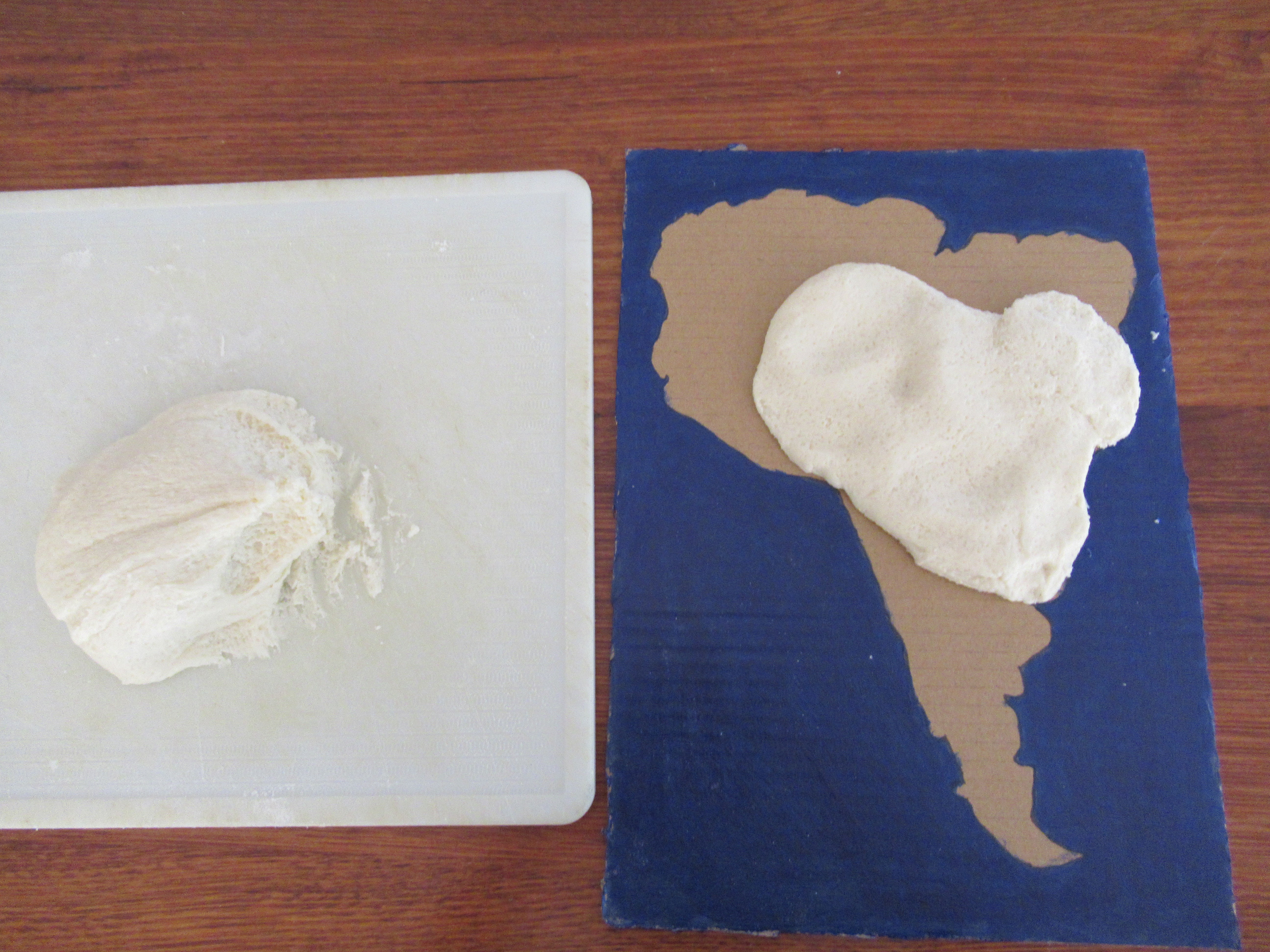
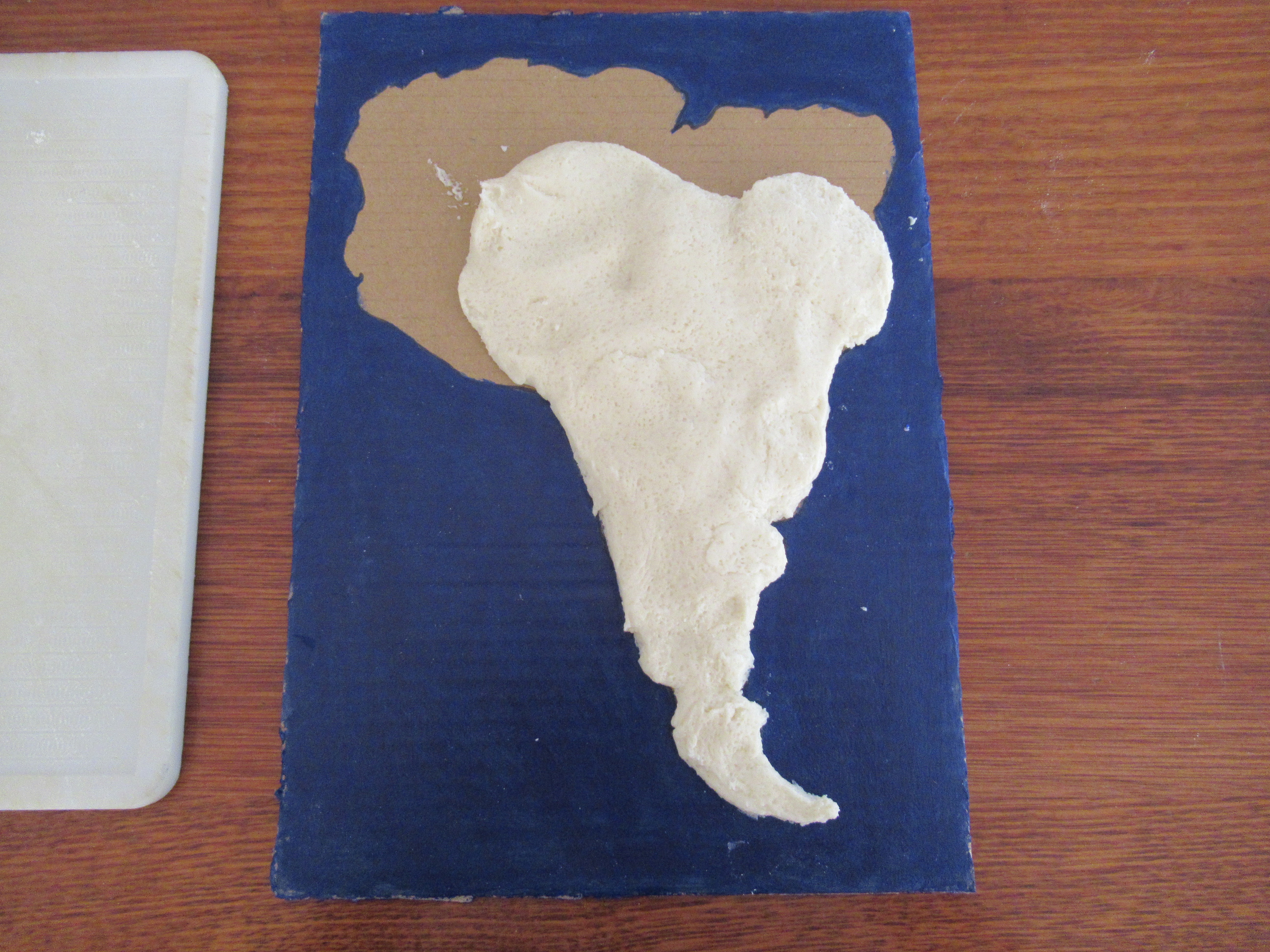
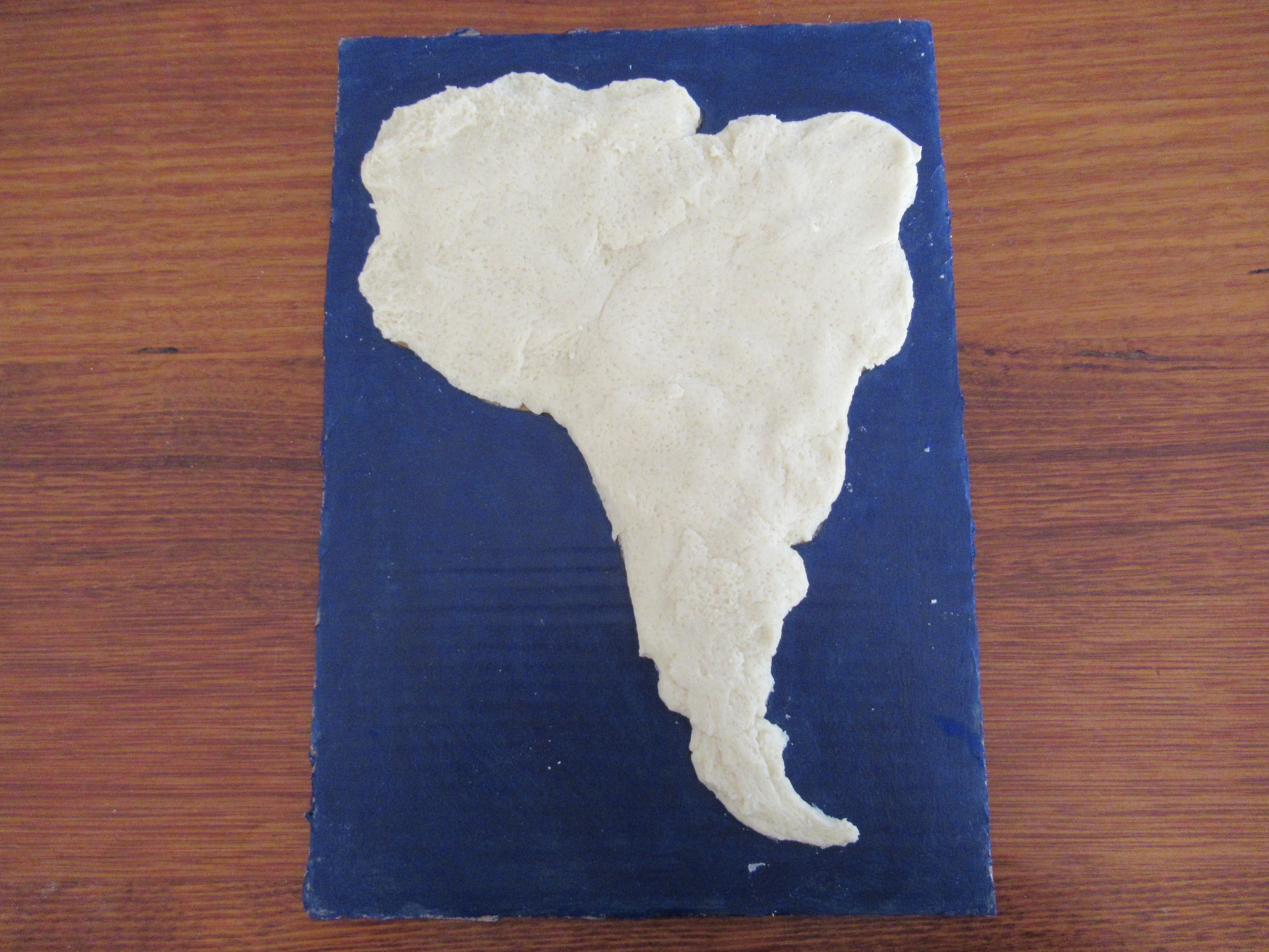
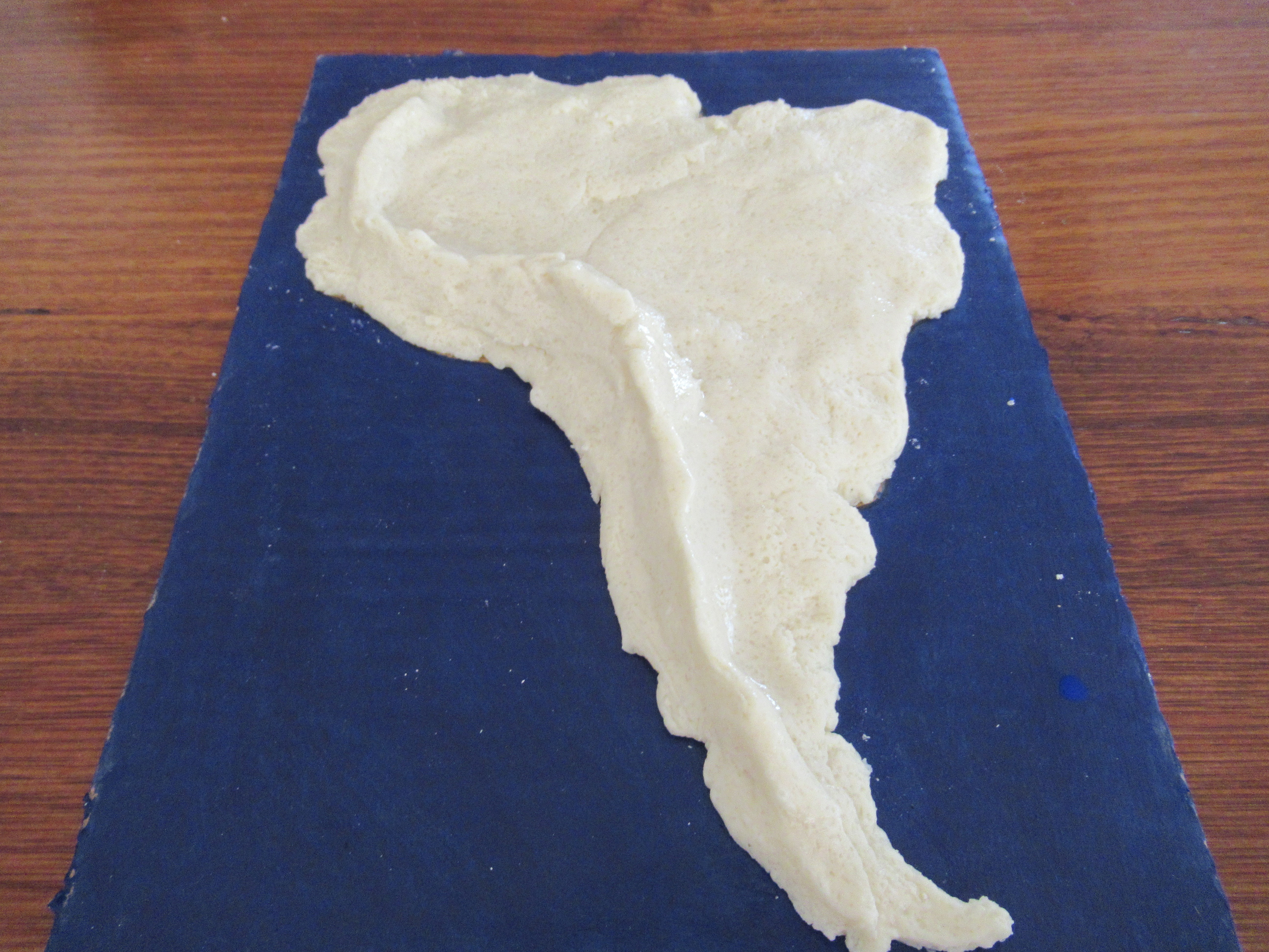
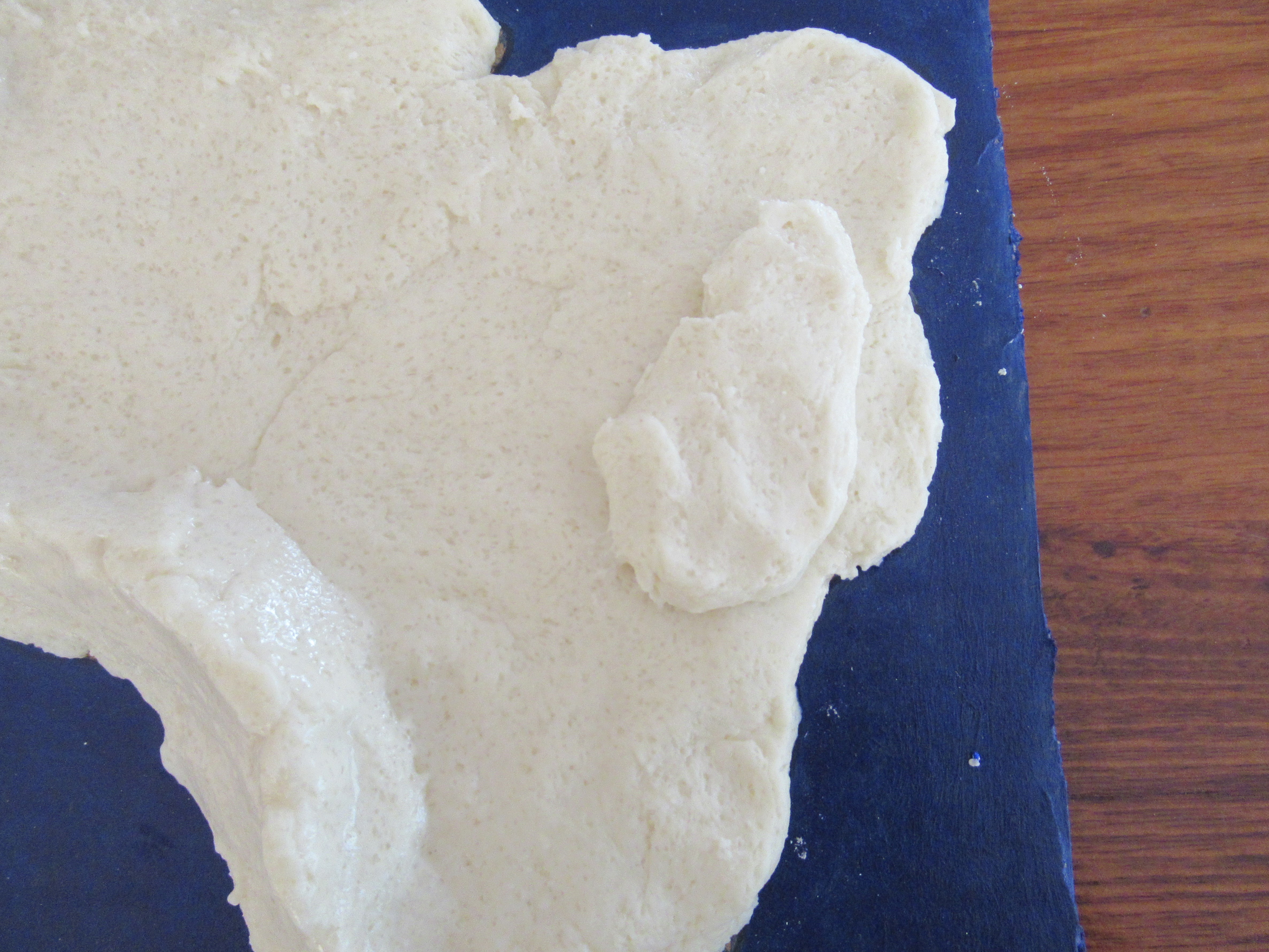
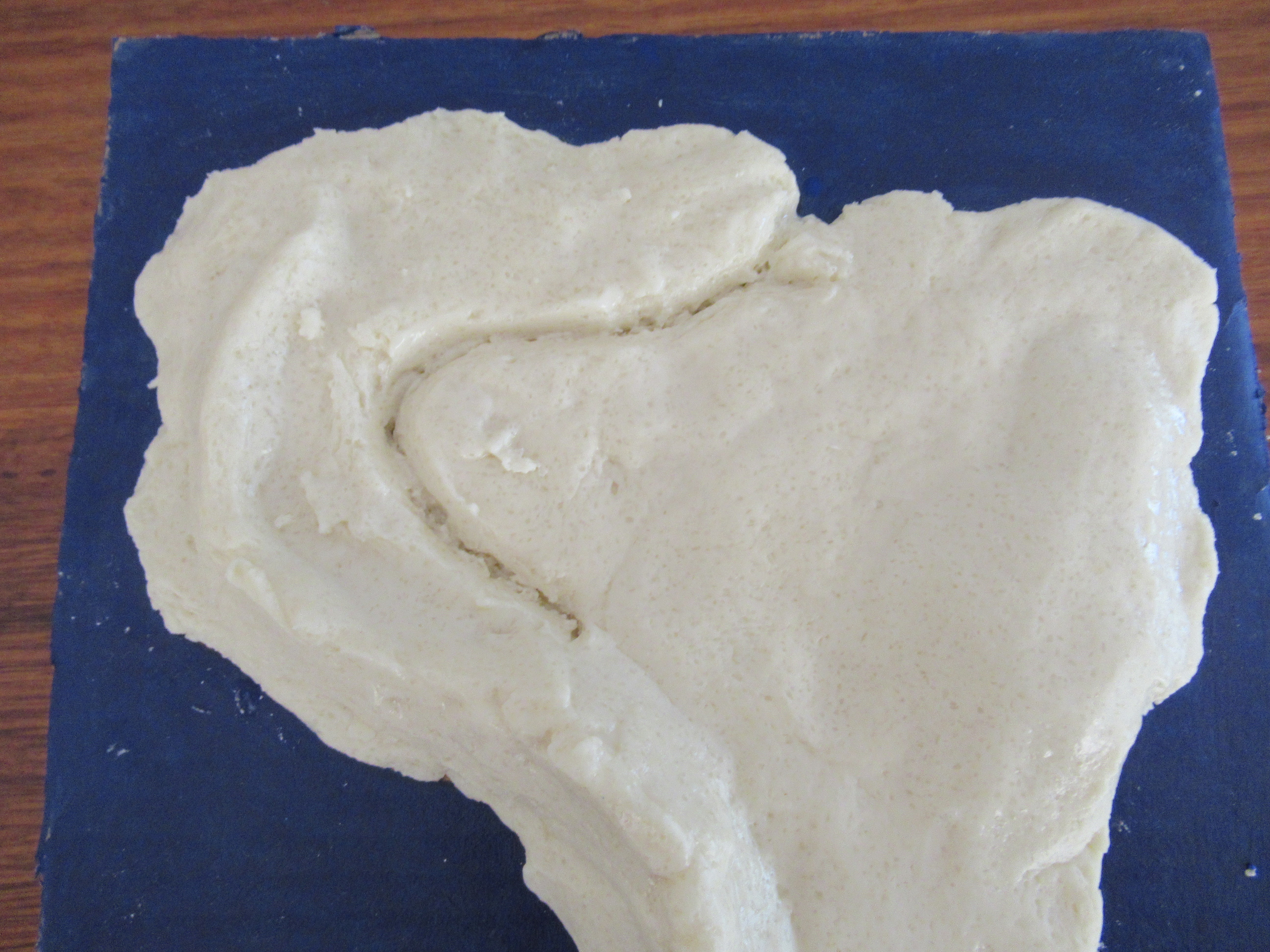
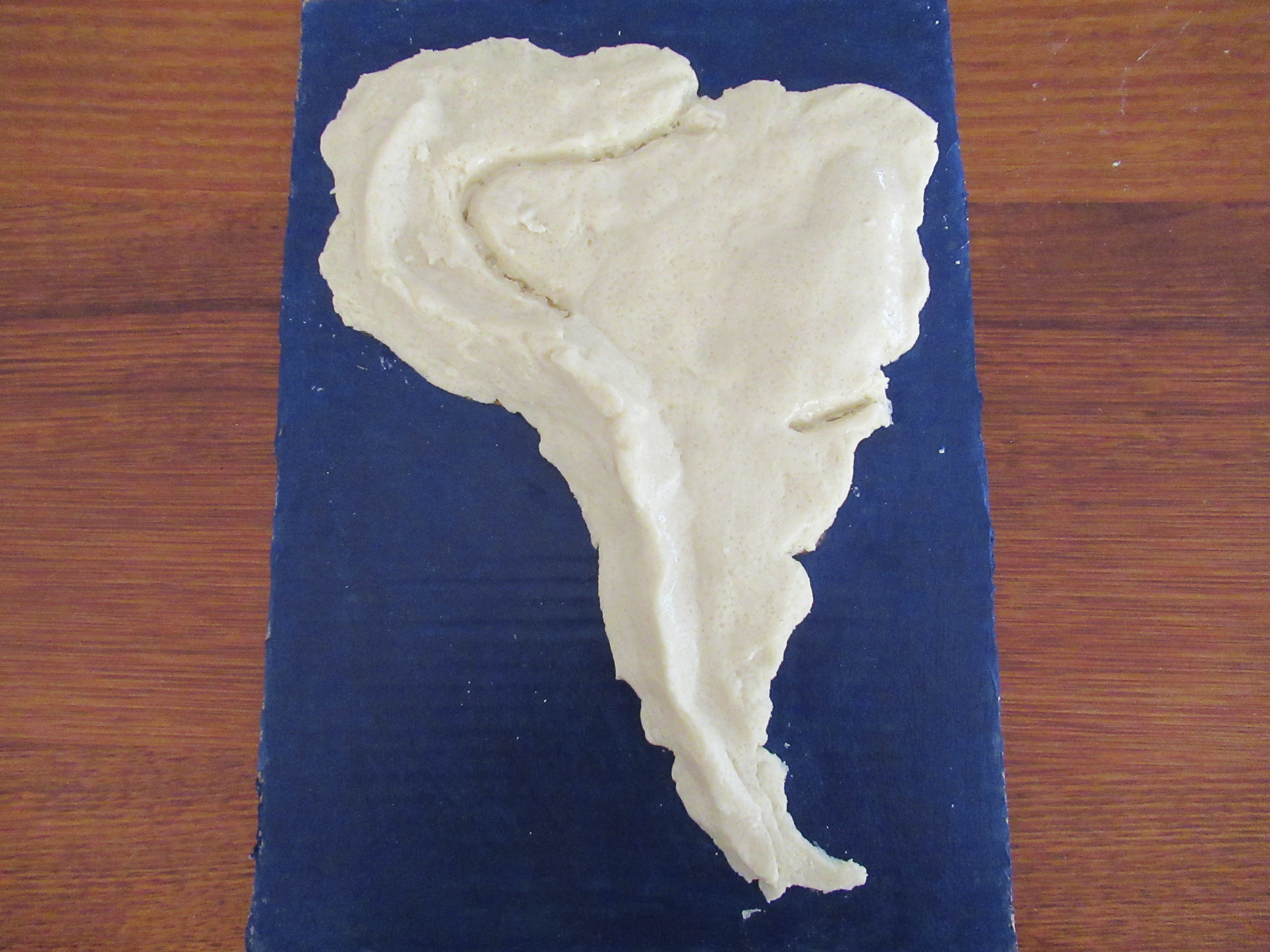
To attach the dough to the cardboard, gather small portions of the salt dough and press it on with the palm of your hand. Keep going until the whole country is done. follow the outline of the country, but it doesn't matter if there is overhang. If you're having trouble joining 2 parts of salt dough together, use a wet finger to merge the pieces. You can layer the dough as thick as you want, but make sure to leave a little to make some mountains later. Keep in mind the thicker you layer the dough, the longer it will take to dry.
Mountains and Highlands
.JPG)
.JPG)
.JPG)
.JPG)
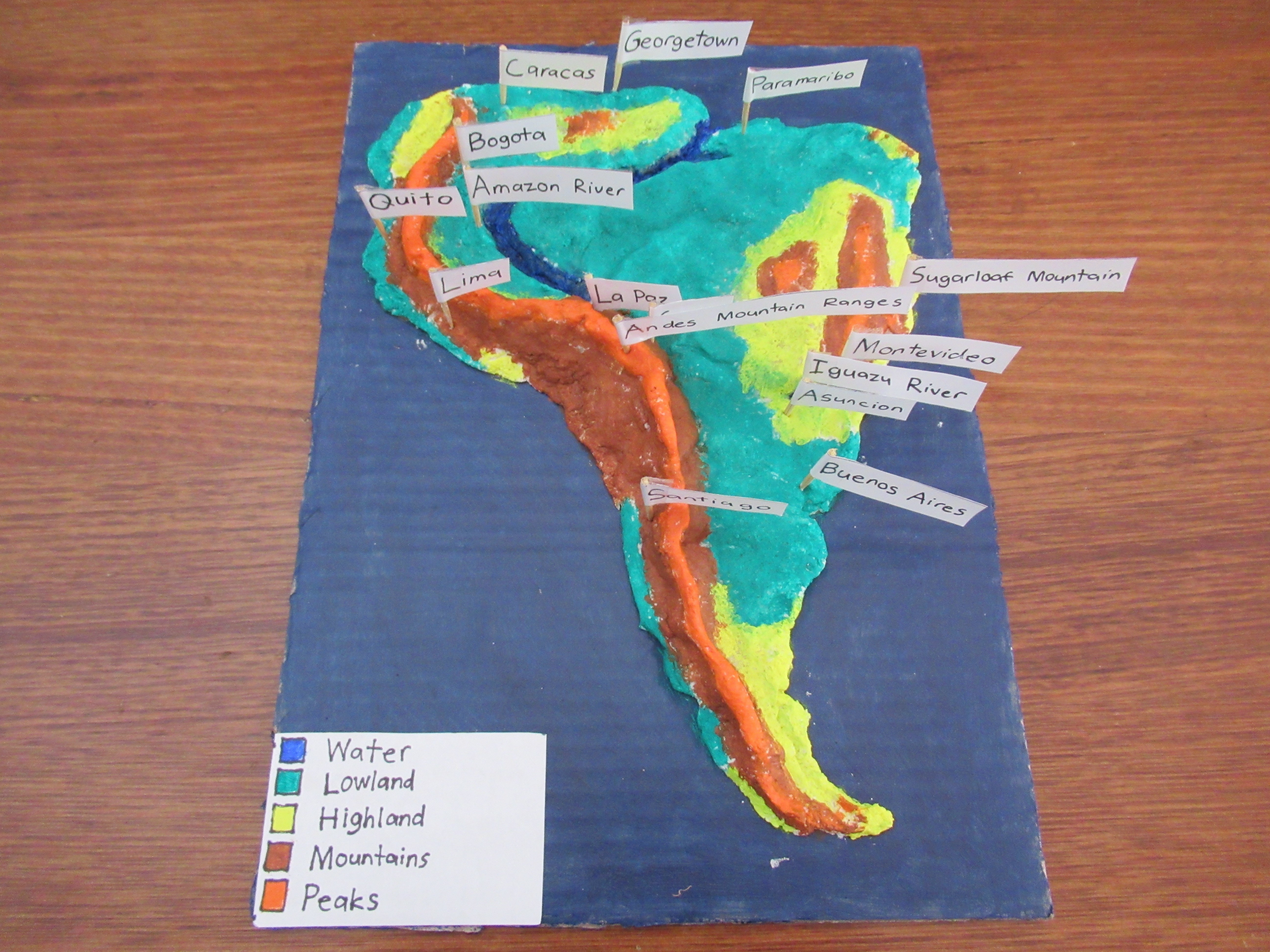
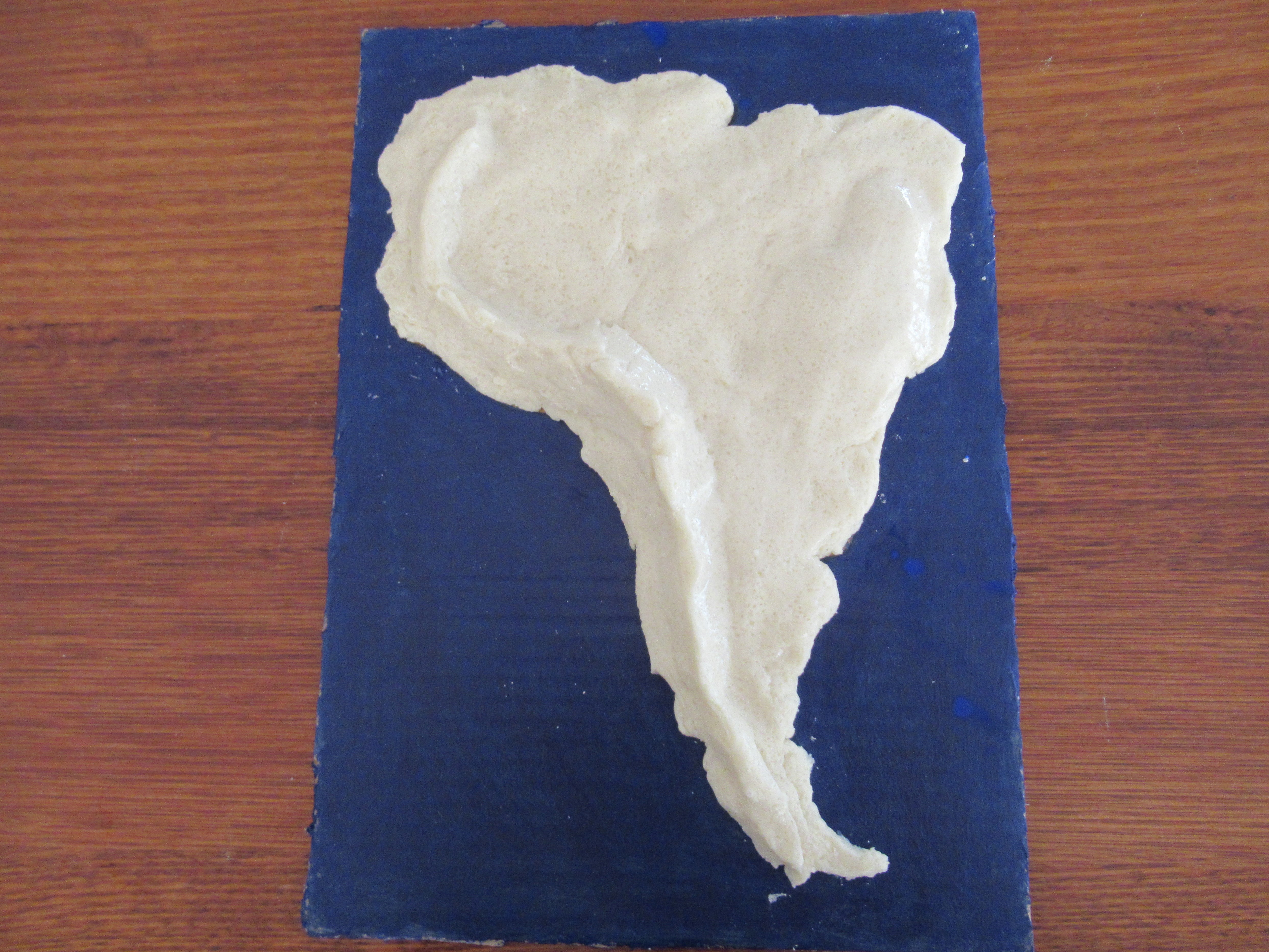
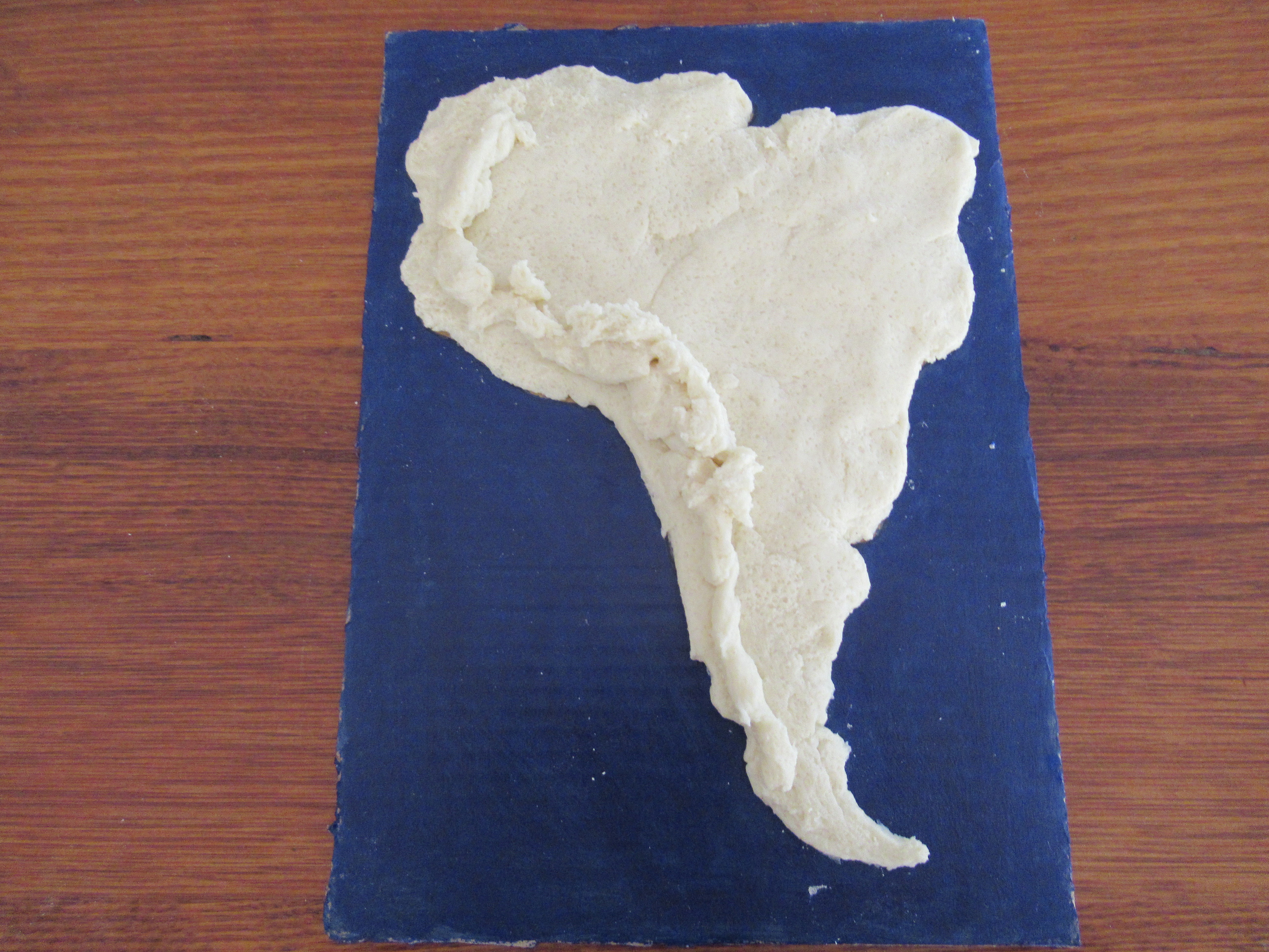
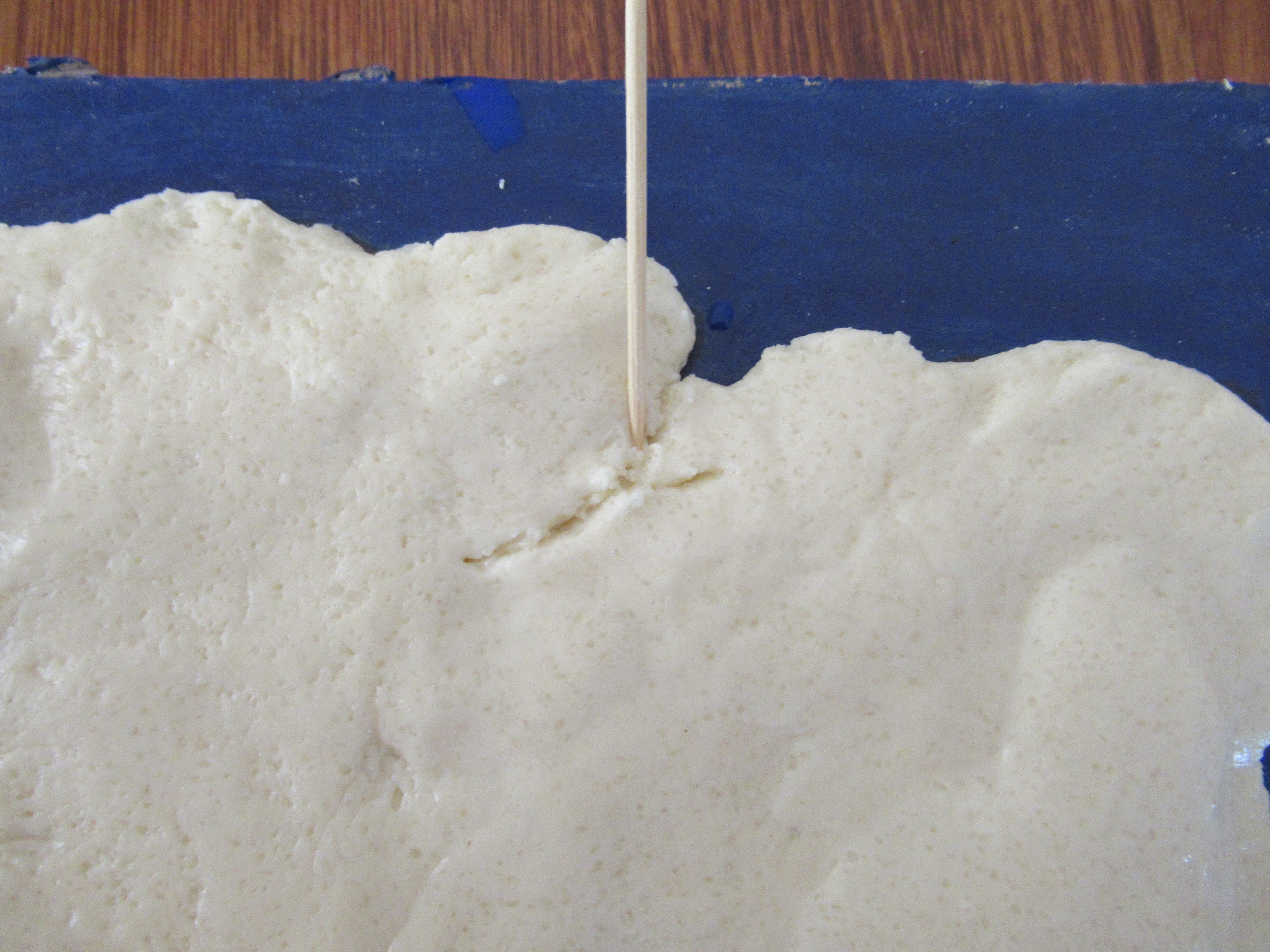
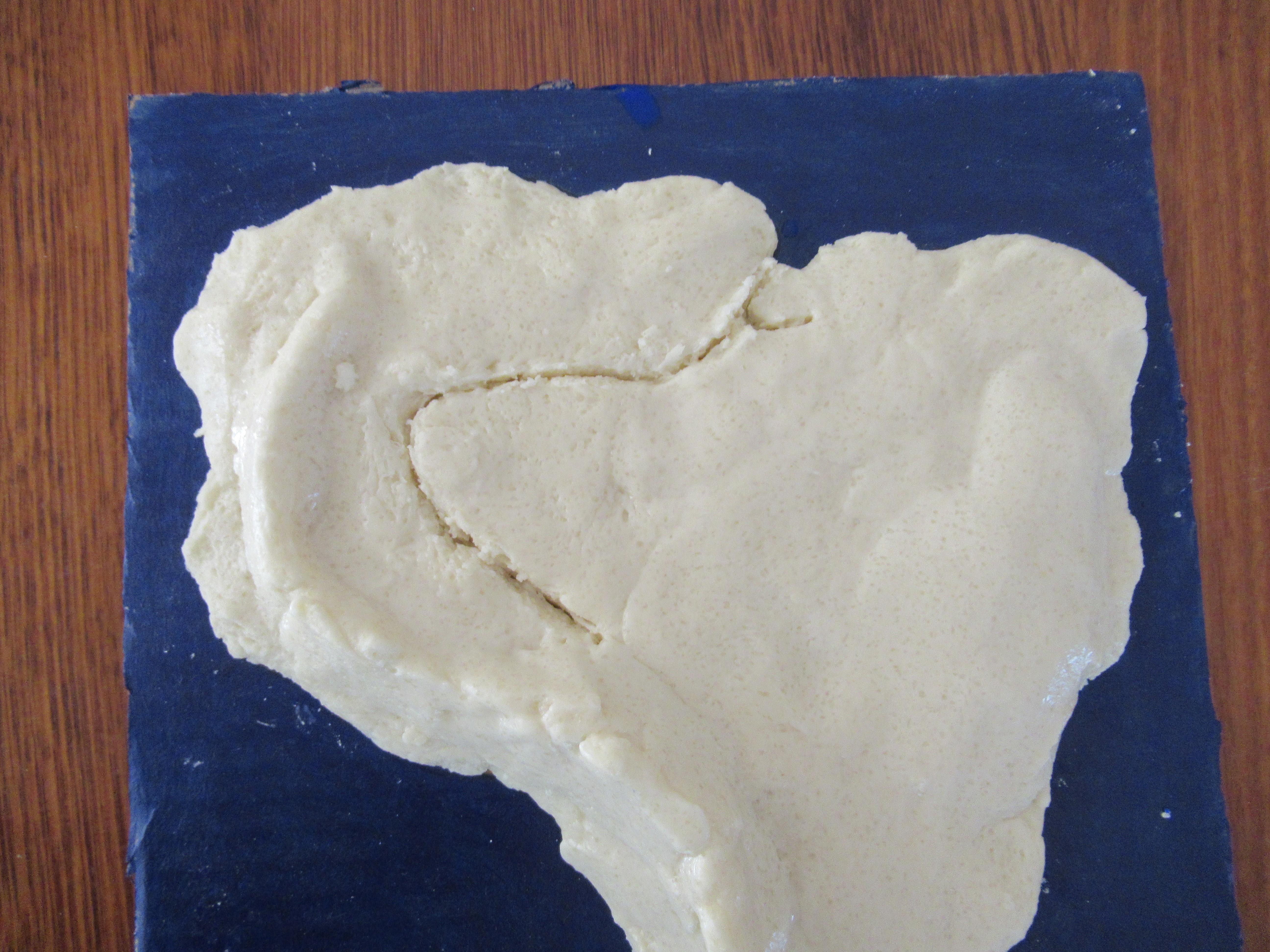
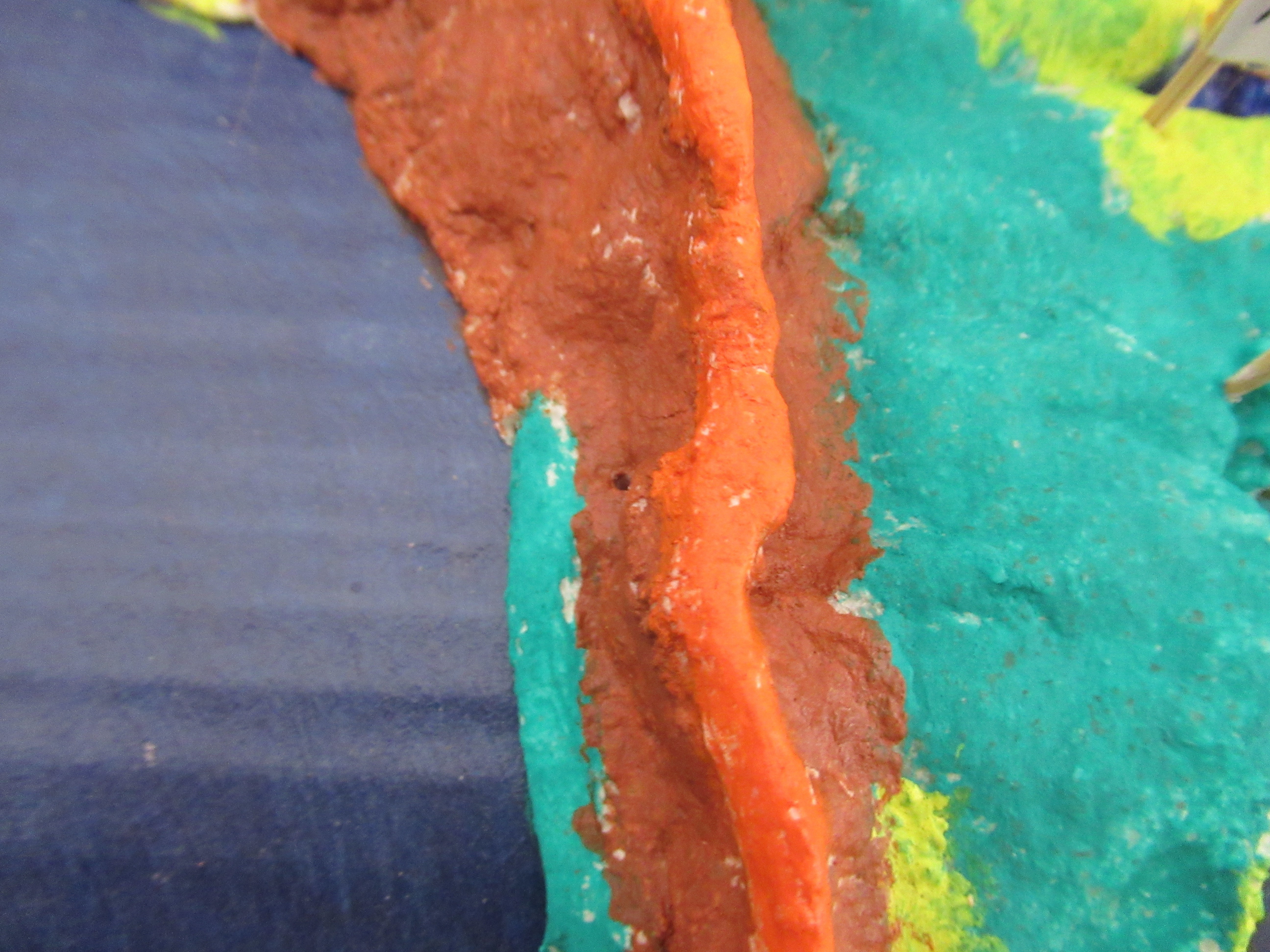
In this step, mark the major mountains or mountain ranges in the country. For example, in South America mark the Andes mountain ranges, and Sugarloaf Mountain. Use the leftover salt dough to make raised mountains, then with a wet finger merge the mountains to the base.
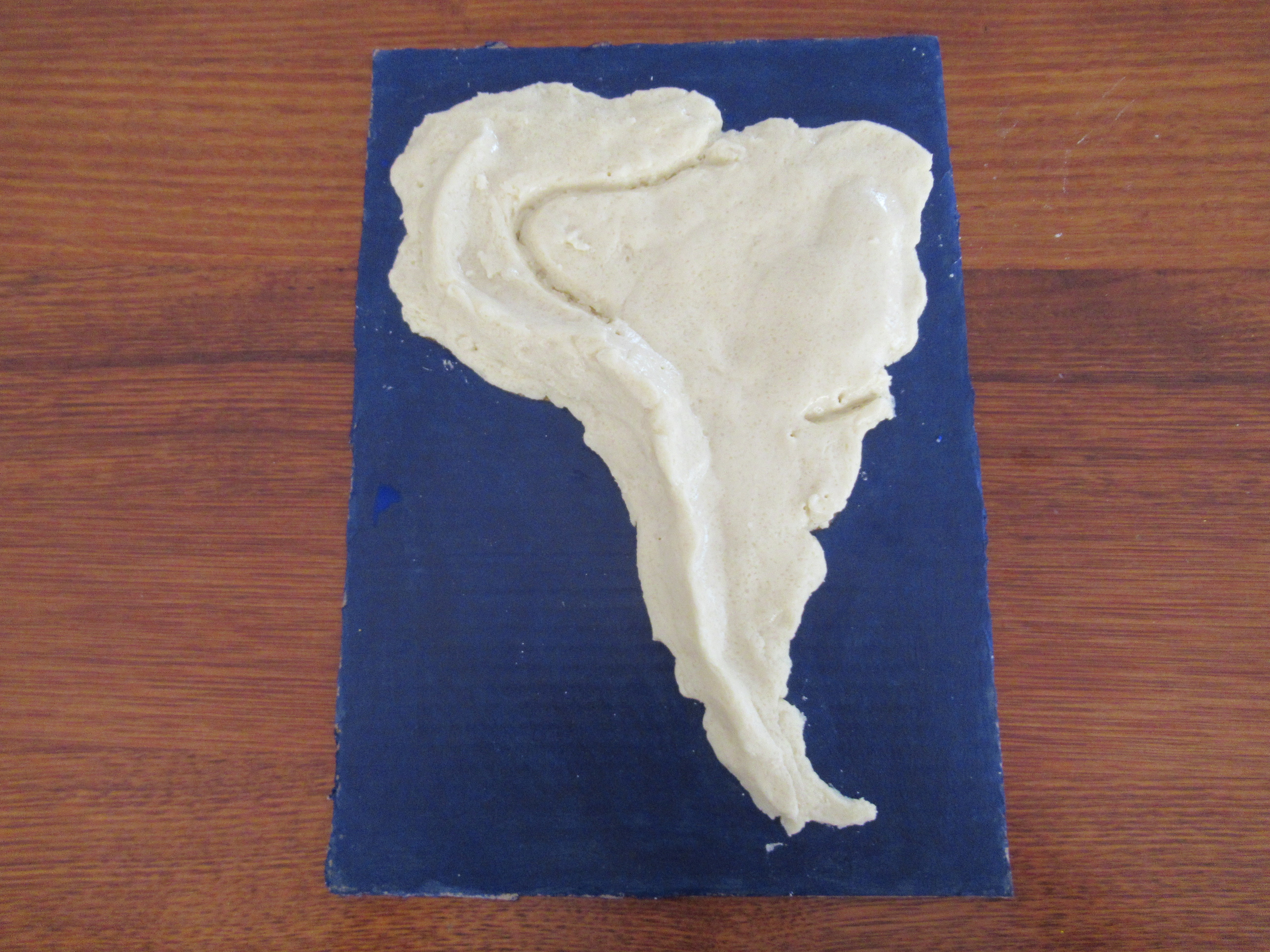
Rivers
.JPG)
.JPG)
.JPG)
.JPG)
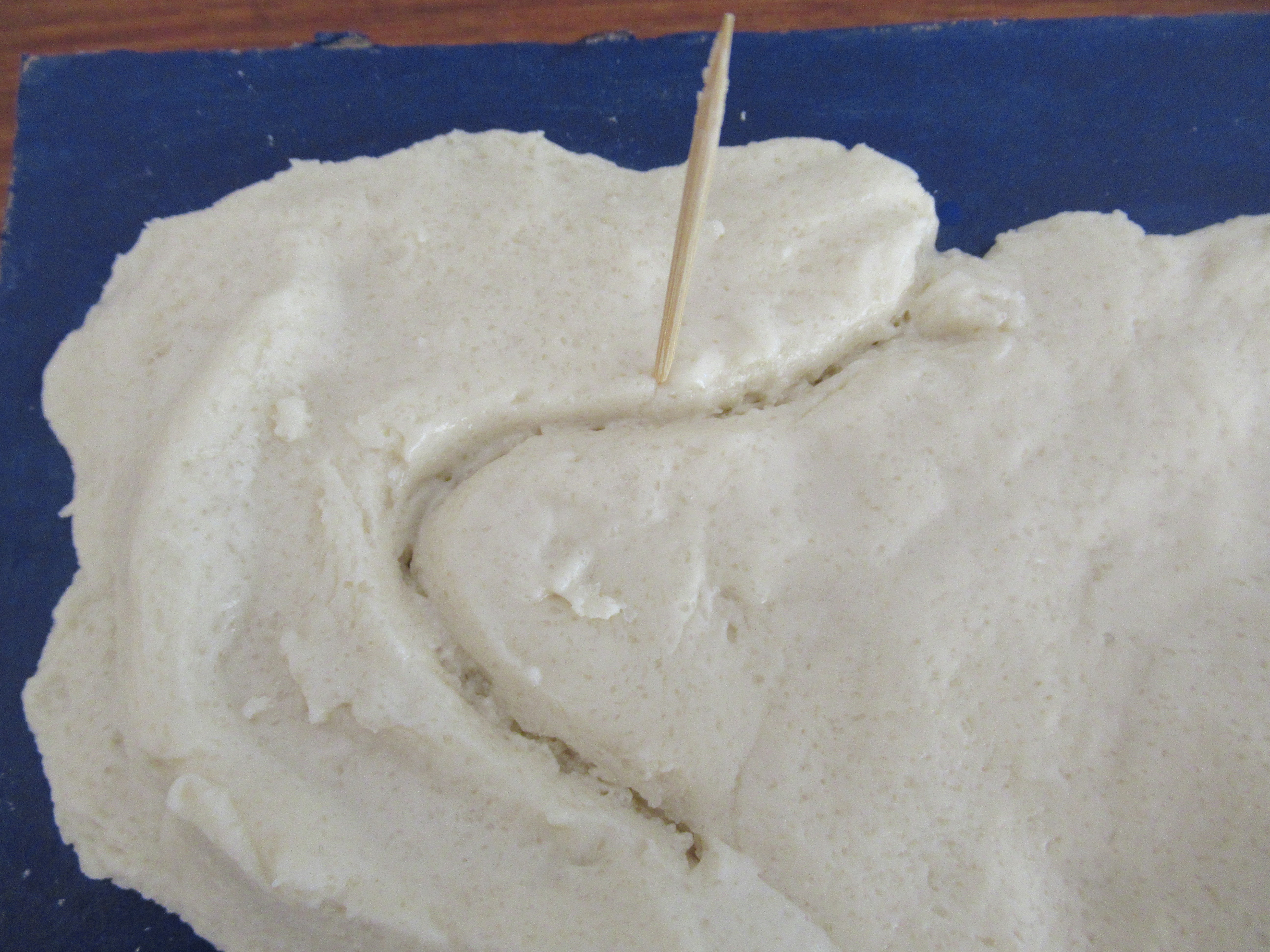
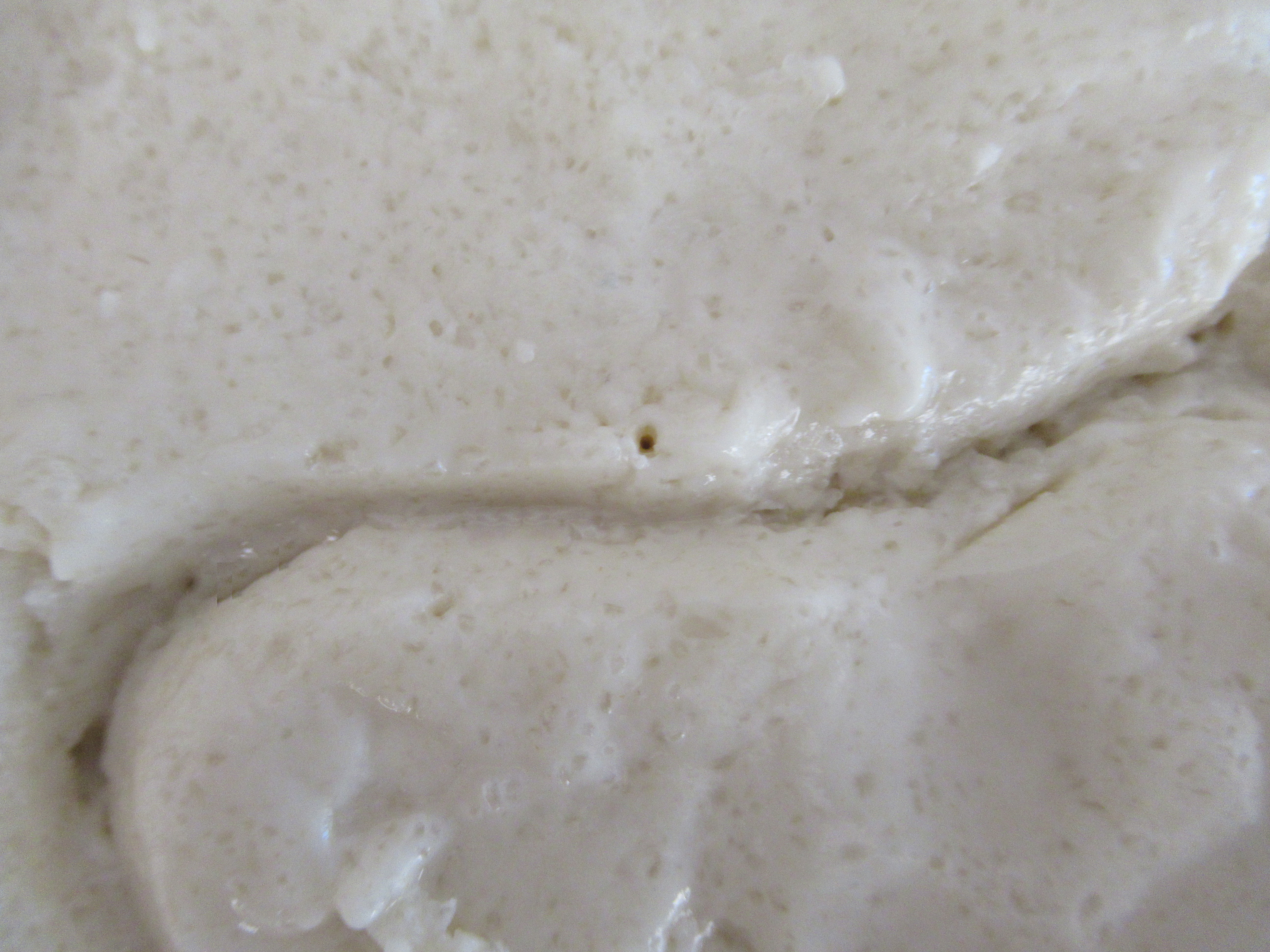
Using a toothpick, carve out the major rivers in your country / continent. Refer to a map to make the river proportional.
Marking With Holes
.JPG)
.JPG)
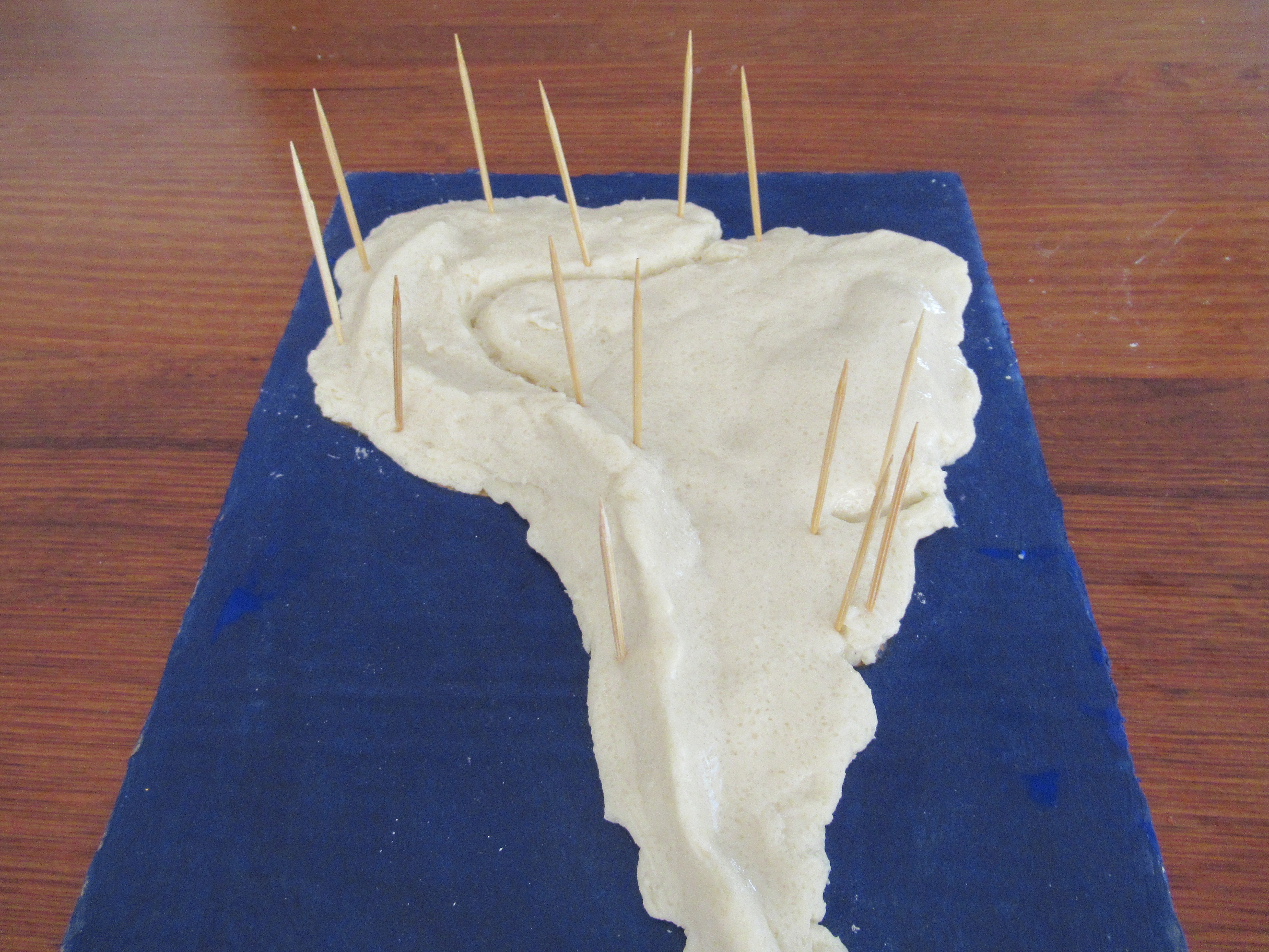.JPG)
.JPG)
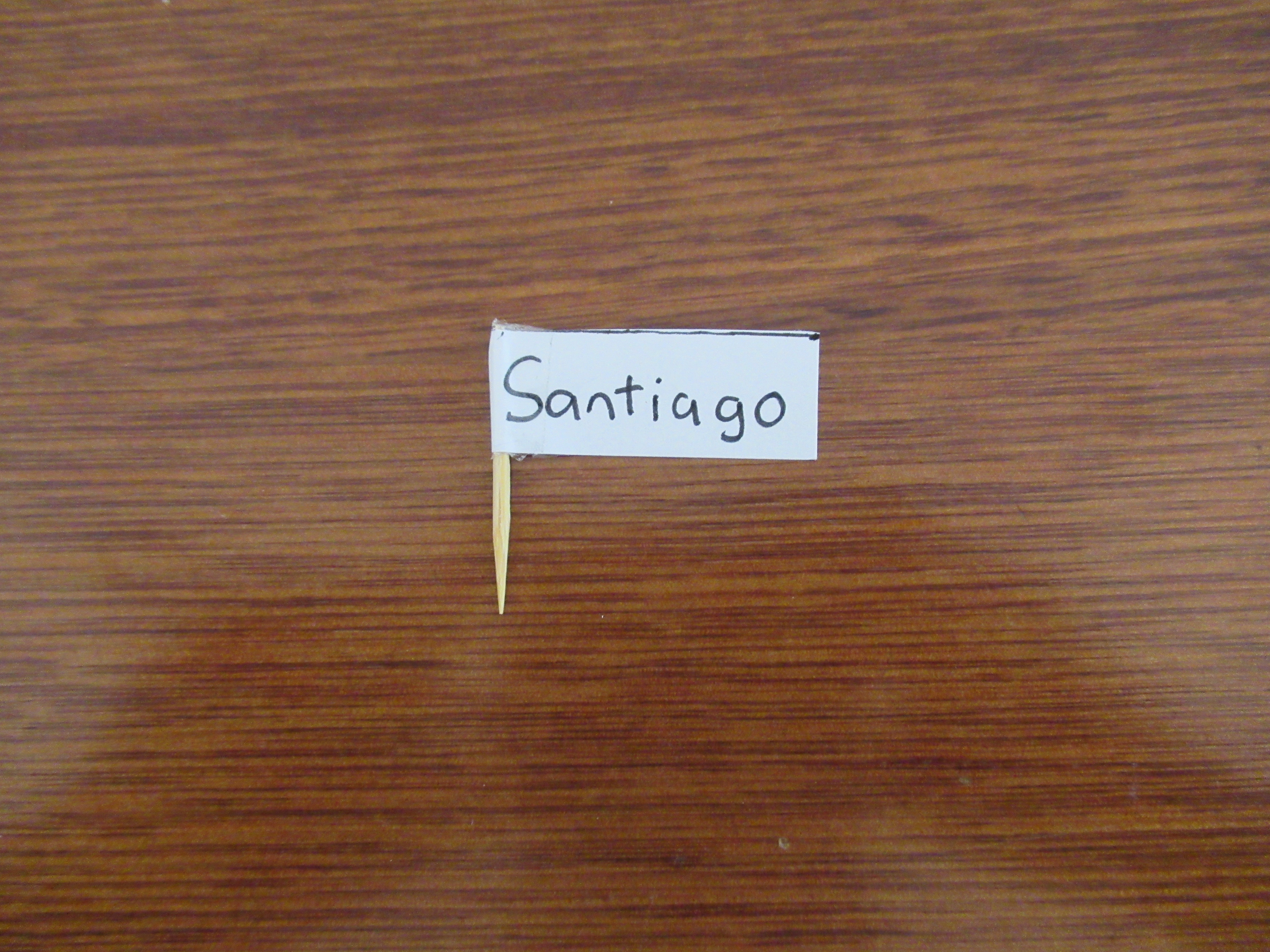
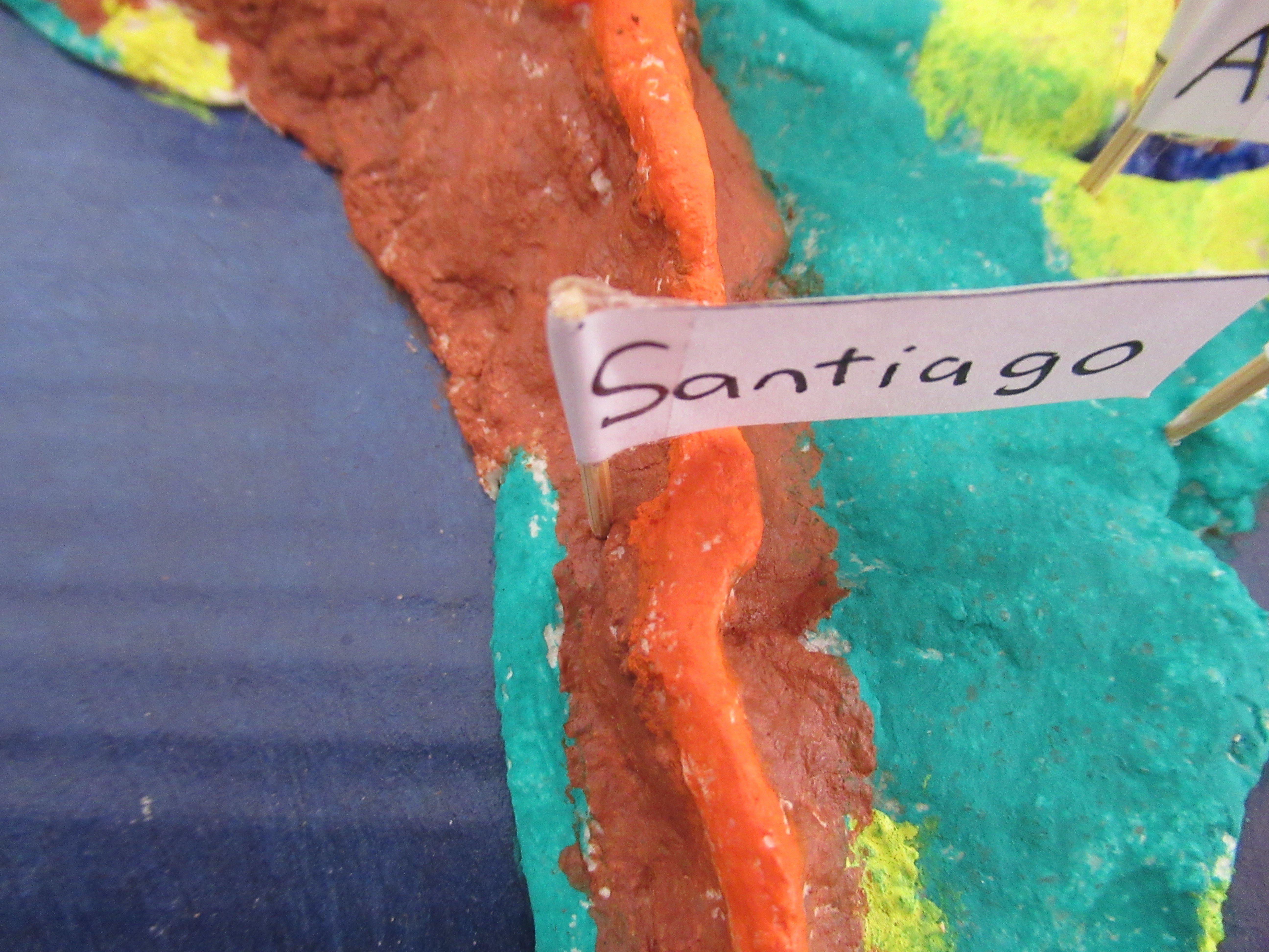
Using a toothpick, pierce holes to mark capital cities, main rivers and mountains. Poke the skewer in until it touches the cardboard base, then pull it out. For example, in South America I will be marking:
Caracas, Bogota, Georgetown, Paramaribo, Quito, Lima, La Paz, Asuncion, Santiago, Buenos Aires and Montevideo. The Amazon and Iguazu river. The Andes and Sugarloaf Mountians.
Leave the salt dough to dry fully (until the dough is hard) before moving on to painting.
Painting
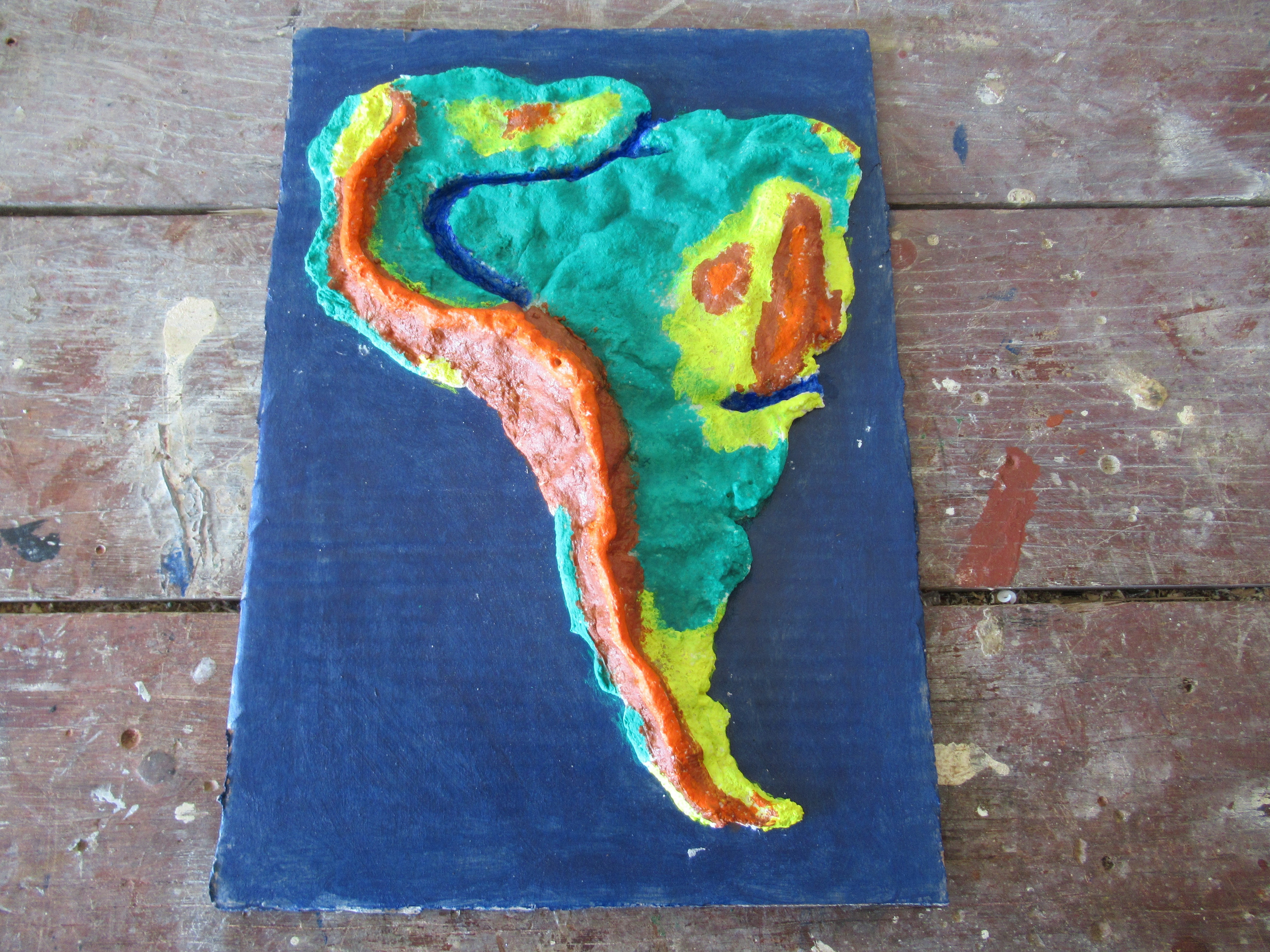.JPG)
.JPG)
.JPG)
.JPG)
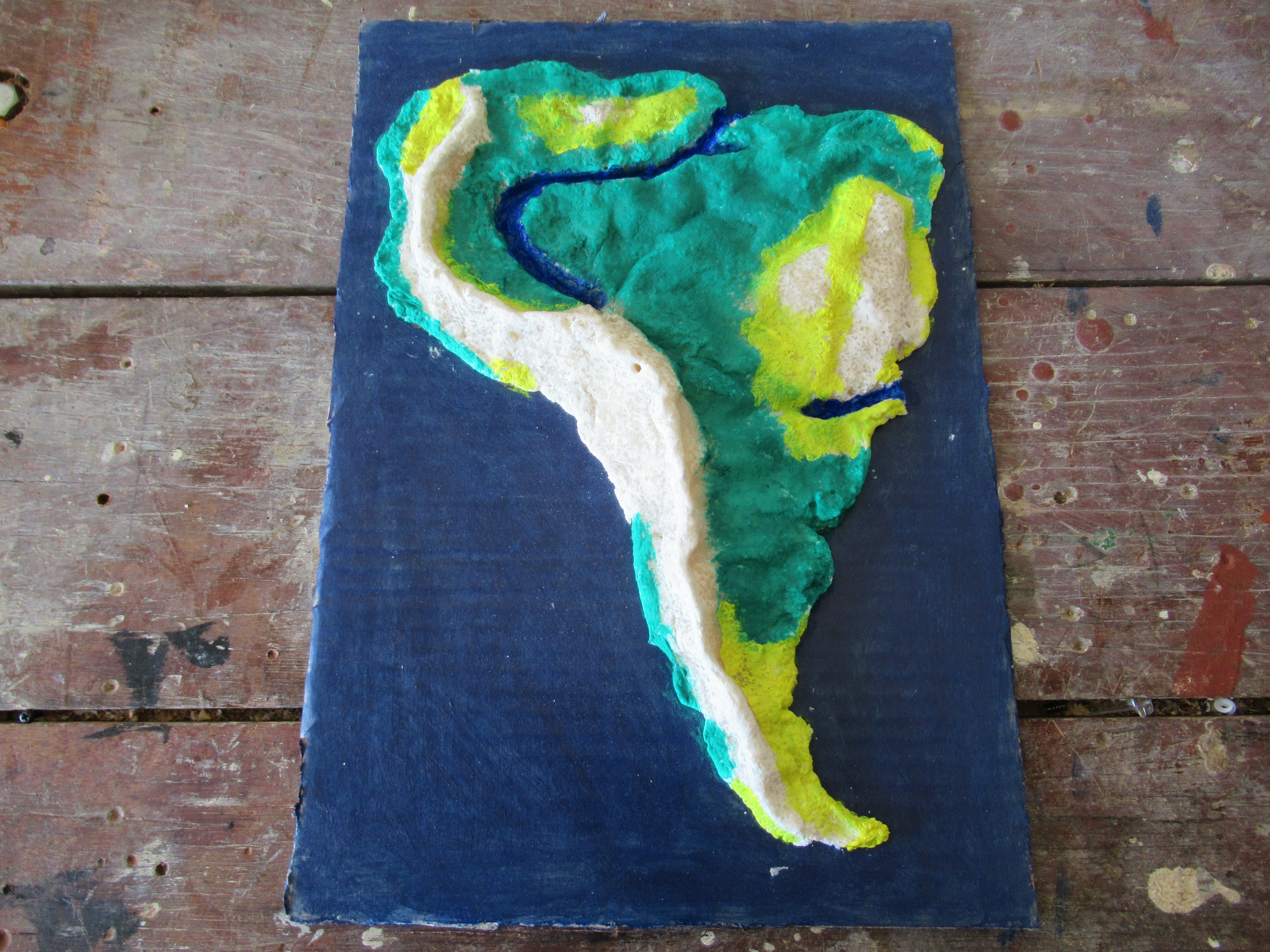
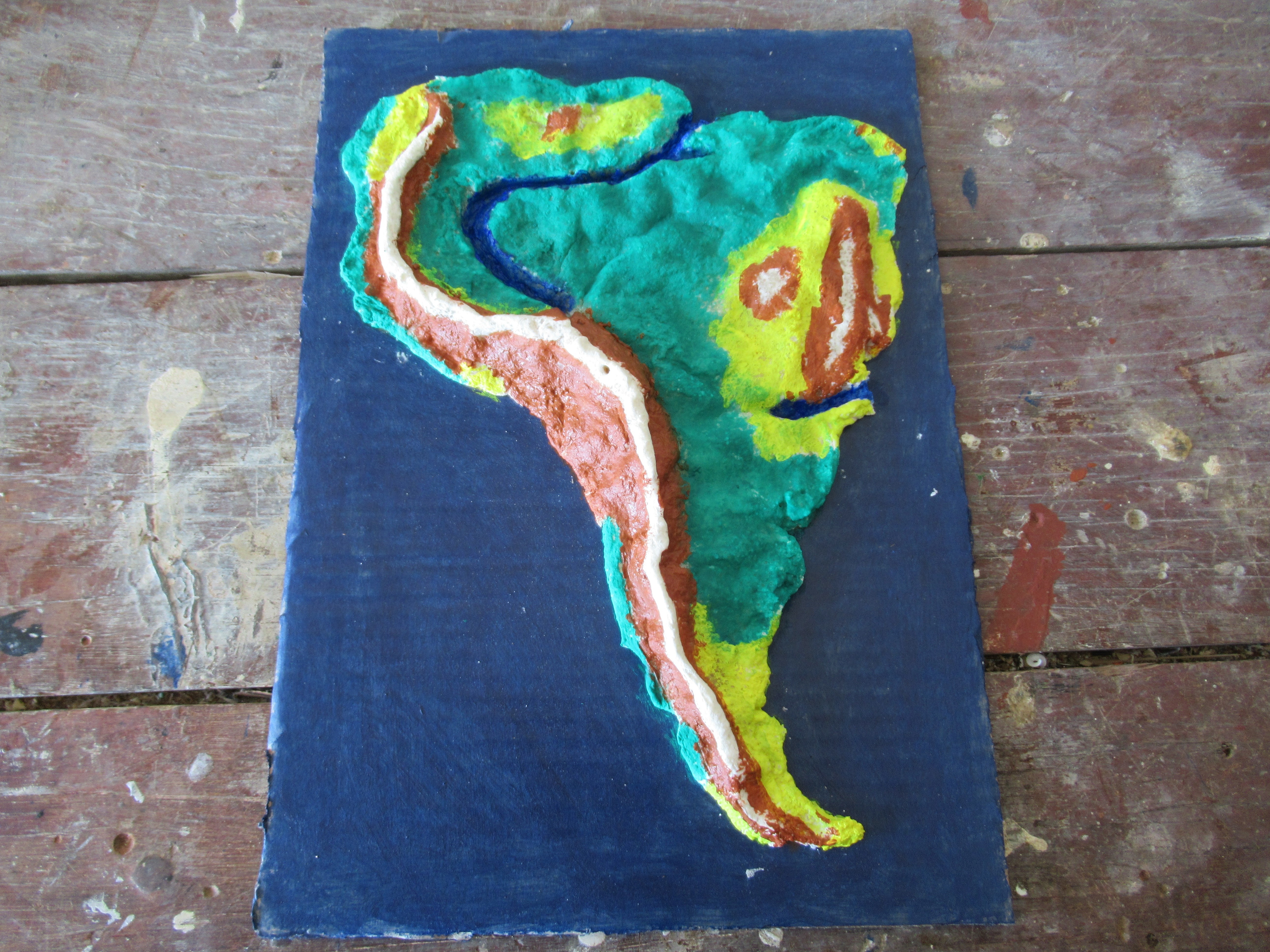
Look up a topographic (altitude) map of your country / continent. Paint the salt dough map according to it's altitude. Let the map dry before moving on to the next step.
Making Marking Flags
.JPG)
.JPG)
.JPG)
.JPG)
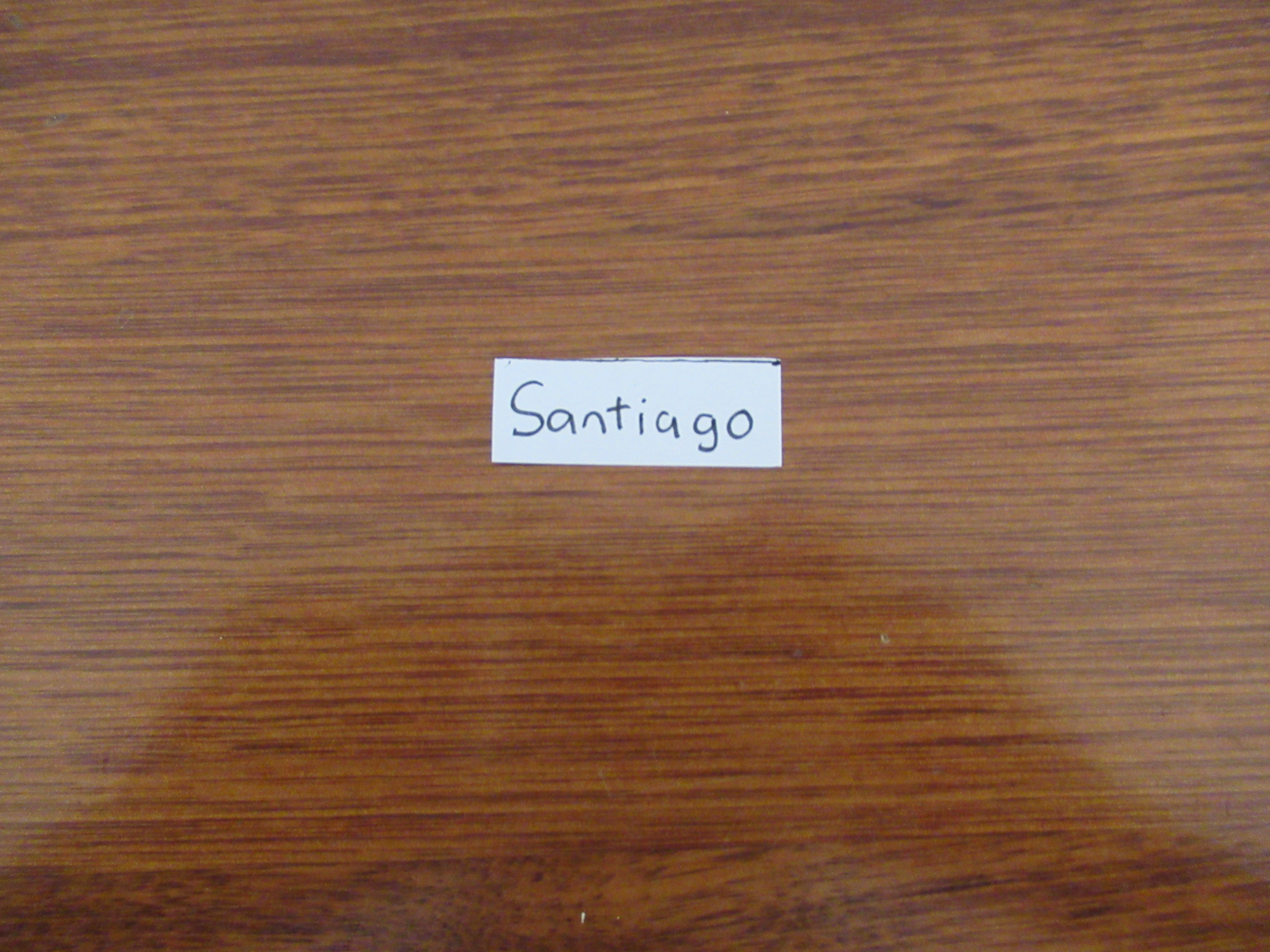
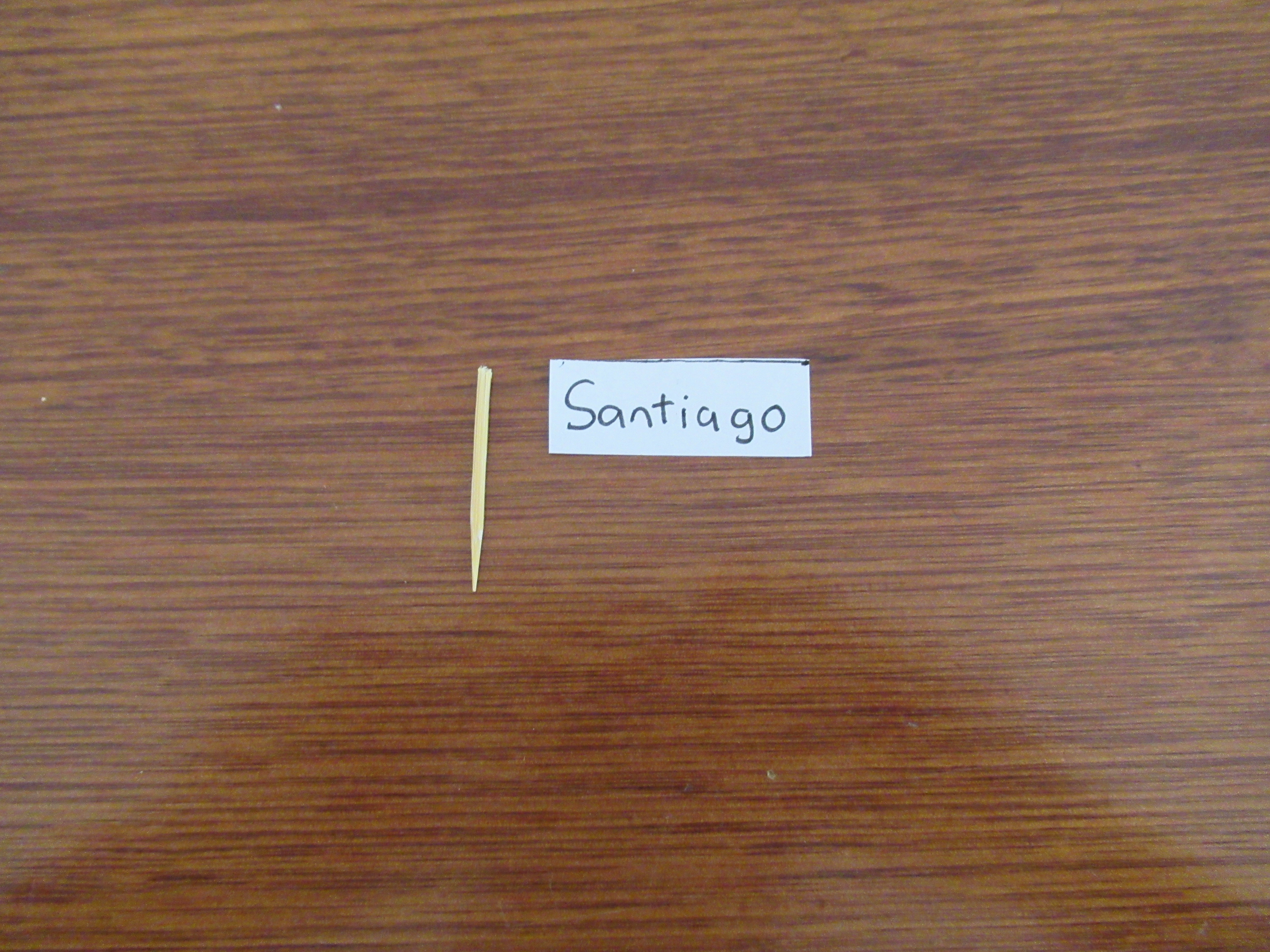
To make the marking flags, cut out a piece of paper, and write down the name of a city, river or mountain. Next cut a toothpick in half, and stick the paper onto it using a small piece of clear sticky tape. Repeat for all the capital cities, main rivers and mountains on your continent. If you're only doing a country, I would recommend marking all the cities.
Attaching the Marking Flags and Key
.JPG)
.JPG)
.JPG)
Glue or tape the key you made earlier onto the cardboard base. Then, push the marking flags into the holes you made earlier.
Finished
.JPG)
Now you're finished. If you have any questions about this instructable, feel free to ask me in the comments and I will try to get back to you as quickly as possible.